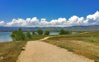
Following the scenic and tranquil Boulder Creek for most of the way, this popular path travels for 8 miles through downtown, past several community parks, by the well-known University of Colorado at Boulder, and through Boulder Canyon. The multi-use, paved path attracts lots of bikers, walkers, and runners. There are really three ‘sections’ of the trail, each quite distinct. The middle section can be more of a ‘runseeing’ tour of Boulder.
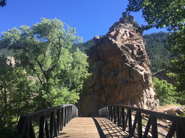
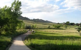
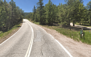
The eastern section starts near the Stazio Ballfields at Arapahoe Ave. & Old Tale Rd., passing through grassland and several parks. At the 3 mile mark, pass through the Colorado University eastern campus, and follow for 1 mile to the northern end of the Univ. of Colorado campus. Miles 4-6 follow Boulder Creek, through Central Park, downtown (Museum of Contemporary Art, Public Library). The western section of the trail, miles 6-8, start at the mouth of Boulder Canyon at the famous Eben G. Fine Park which is one of Boulder’s longstanding landmarks. This last section, paralleling Boulder Canyon Rd., is hillier.
Note that many other local paths intersect with Boulder Creek Path, so make sure to stop and check that you are on the right trail.
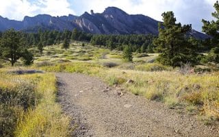
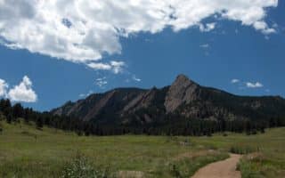
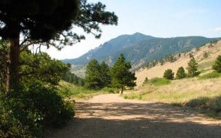
University of Colorado Campus: Intersects with the Boulder Creek Path at about its midway point. A great campus for running. There are great views of the snowcapped Rocky Mountains and Flatirons, a lake and two creeks, and ruggedly beautiful buildings to match. The architectural style is Tuscan-meets-the-West, with the Norlin Library being a shining example. Interactive online map.
Add-Ons: Several additional trails come off the Boulder Creek Path.
Following the scenic and tranquil Boulder Creek for most of the way, this popular path travels for 8 miles through downtown, past several community parks, by the well-known University of Colorado at Boulder, and through Boulder Canyon. The multi-use, paved path attracts lots of bikers, walkers, and runners. There are really three ‘sections’ of the trail, each quite distinct. The middle section can be more of a ‘runseeing’ tour of Boulder.
The eastern section starts near the Stazio Ballfields at Arapahoe Ave. & Old Tale Rd., passing through grassland and several parks. At the 3 mile mark, pass through the Colorado University eastern campus, and follow for 1 mile to the northern end of the Univ. of Colorado campus. Miles 4-6 follow Boulder Creek, through Central Park, downtown (Museum of Contemporary Art, Public Library). The western section of the trail, miles 6-8, start at the mouth of Boulder Canyon at the famous Eben G. Fine Park which is one of Boulder’s longstanding landmarks. This last section, paralleling Boulder Canyon Rd., is hillier.
Note that many other local paths intersect with Boulder Creek Path, so make sure to stop and check that you are on the right trail.
University of Colorado Campus: Intersects with the Boulder Creek Path at about its midway point. A great campus for running. There are great views of the snowcapped Rocky Mountains and Flatirons, a lake and two creeks, and ruggedly beautiful buildings to match. The architectural style is Tuscan-meets-the-West, with the Norlin Library being a shining example. Interactive online map.
Add-Ons: Several additional trails come off the Boulder Creek Path.

Review or Comment on This Route/Share a Photo!
Share your feedback on this route and see that of other Great Runs users. Click on the image icon to upload a photo. And please let us know if there are notes or changes we should incorporate!