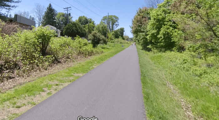
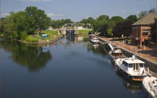
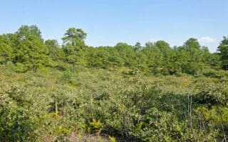
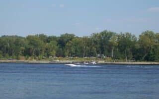
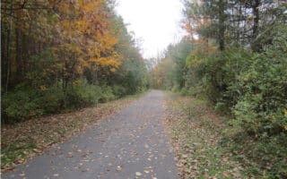
The Albany County Rail Trail, also known as the Helderberg-Hudson Rail Trail, is a good opportunity for a longer, off road run in the Albany area. The multi-use path follows the bed of a former railroad for nearly 9 miles west to Voorheesville. The first 5 miles of the trail to Slingerlands is paved, and then it becomes gravel. The landscape is a mix of residential suburbs, fields and farms, and some woods.
The closest start to Albany is 2 miles south of downtown at S. Pearl St. Follow the trail west. It’s 3 miles to Elsmere, 5 miles to Slingerlands. West of Slingerlands, the terrain becomes increasingly pastoral. It’s a very gradual uphill heading west.


Review or Comment on This Route/Share a Photo!
Share your feedback on this route and see that of other Great Runs users. Click on the image icon to upload a photo. And please let us know if there are notes or changes we should incorporate!