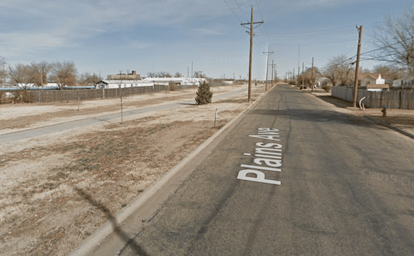
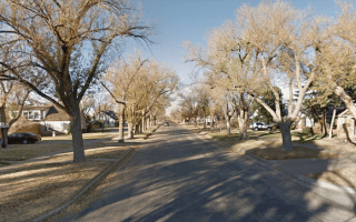
The Rock Island Rail Trail is the principal off-road multi-use path in central Amarillo. It runs for nearly 4 miles along Plains Blvd., extending west from downtown. Plains Blvd. is a busy road, so this won’t win awards for the most bucolic run ever, but it is a good off-road option.
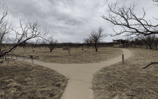
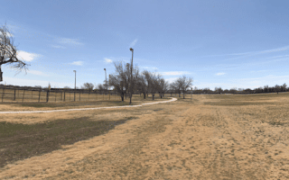
Add-Ons: Toward the western end of the trail, hop up to Medical Center Park, where there’s a pleasant ~1 mile trail around a man-made lake.
The Rock Island Rail Trail is the principal off-road multi-use path in central Amarillo. It runs for nearly 4 miles along Plains Blvd., extending west from downtown. Plains Blvd. is a busy road, so this won’t win awards for the most bucolic run ever, but it is a good off-road option.
Add-Ons: Toward the western end of the trail, hop up to Medical Center Park, where there’s a pleasant ~1 mile trail around a man-made lake.


Review or Comment on This Route/Share a Photo!
Share your feedback on this route and see that of other Great Runs users. Click on the image icon to upload a photo. And please let us know if there are notes or changes we should incorporate!