Features:
Categories:
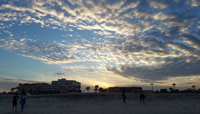
Amelia Island and its main city of Fernandina Beach are located just 40 minutes north of Jacksonville on a beautiful barrier beach between the Amelia River and the Atlantic ocean. This vacation destination is popular among Florida locals and tourists alike for its laid back beach vibes blended with southern charm. Keeping the May-October hot and humid Florida weather in mind, there is plenty of great running on Amelia Island. The 13 miles of public beach are the most popular and accessible options, but bike paths, a state park, and miles of scenic sidewalks through the residences and shops of bubbly downtown Fernandina Beach are also great choices.
Fernandina Beach: The coast of Amelia Island is lined by 13 miles of perfect running sand — firm, flat, and wide, with plenty of access points and parking off South Fletcher Ave so you can hop on and off for a run of any length. Like all beach running, conditions are best at low tide. MAP
South Fletcher Ave: The stretch of South Fletcher Ave. (A1A) along Fernandina Beach is an excellent run either on its own or in combination with a run of the sand. A nice flat sidewalk spans most of the street, which is lined with elegant waterfront homes. The best section is north of the intersection with Sadler Road (108) to the Main Beach Park, which is about 2 miles one-way. There are occasional water views, but the ocean side is generally lined with homes. TRAIL MAP
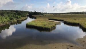
Egans Creek Greenway: This great section of the Florida Birding Trail is set on 300 acres of conservation land bordering scenic Egans Creek. The grass trail network is about 5 miles total, mostly out and back with some short looping sections. It’s a great opportunity to see wildlife and flora in a thriving coastal swamp. Park at the Atlantic Recreation Center, where you can amp up your workout with stationary exercise equipment. TRAIL MAP & INFO
Fort Clinch State Park: The northern tip of Amelia Island is conserved by Fort Clinch State Park, a 19th century brick fortress from the Seminole Wars. This park is a favorite spot for running, with a 6 mile shared use trail that circles the park with access to the fort and a 3 mile beach over a path lined with Spanish moss draped oaks. TRAIL MAP & INFO
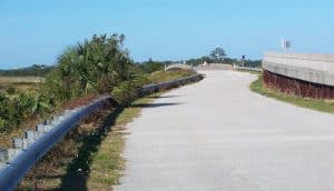
Amelia Island Parkway: This separated bike lane bordering the Amelia Island Parkway serves as a cutoff along the Amelia Island Trail, from Peters Point Beach to American Beach. There is some traffic along this stretch, but also lots of nice parks, fancy hotels, and beach access. 1.75 miles one-way. MAP
Tide Table


Comment on this Route/Share a Photo!
Share your feedback on this route and see that of other Great Runs users. Click on the image icon to upload a photo. And please let us know if there are notes or changes we should incorporate!