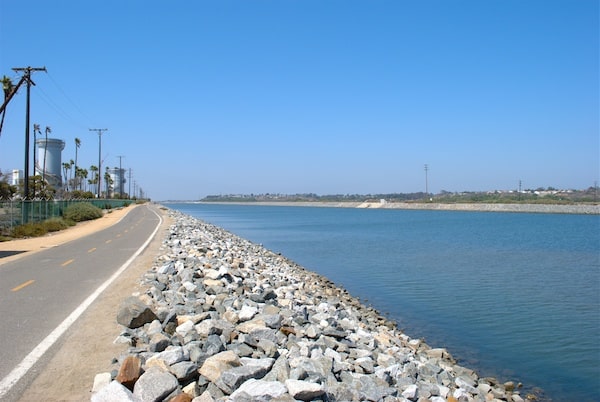
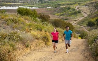
The Santa Ana River trail is a multi-use recreational trail that runs for 30 miles along the Santa Ana River, from the Orange/Riverside county line Huntington Beach. Several miles pass through Anaheim. The paved, 12-foot wide path is popular with walkers, runners, cyclists. and as a popular bike commuting corridor. It’s a good path for running, but be aware on a hot day as there is little shade. For most of the way, there is a trail on both sides of the river — usually one side is paved and the other dirt. There are mile markers. The map below has detailed information on the segments.
The northeastern section starts at Green River Road in Corona, just after the beginning of Riverside County. Pass through pretty Yorba Linda Park and Anaheim Hills. In the Anaheim area, look for the “A” in the distance, Angel Stadium and the Honda Center.
A nice section is the 3 miles on the south side of the river from Adams Ave., passing through Talbert Regional Park and Fairview Park (which itself has a few miles of trails). and along the Banning Channel Bikeway.
The southern section of the trail goes through the cities of Costa Mesa, Fountain Valley and Santa Ana, ending at Huntington Beach at the intersection of the Huntington Beach Bike Trail. There are several entry points to get onto the trail and several city and regional parks.
Note: There have been reports of significant homeless encampments along sections of the trail.
Scroll Down For Route Maps
Essentials
Up to 30 miles, one-way.
Multiple entry points. Northeastern end at Orange/Riverside line; Southwestern end at Huntington Beach at Rt.1
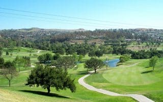
A series of regional parks 10 miles east of Anaheim offer a terrific variety of running options. Most extensive are Irvine Regnal Park and and Peters Canyon Regional Park. Yorba Regional Park is pretty, with 4 lakes and the Santa Ana River Trail.
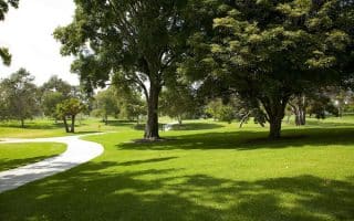
This 670 acre park is one of the best spots to run near Anaheim/Disney. It's 1 mile along each side of the park. Or, enjoy some of the interior trails. There are lakes, golf courses, nature trails, recreational fields, and more.
Central Anaheim near Disney and the tourist areas will never be referred to as a running mecca...but if you don't have time to head to the parks east of Anaheim, we recommend the Colony Historic District and the Anaheim Hillls residential area.
Share your feedback on this route and see that of other Great Runs users. Click on the image icon to upload a photo. And please let us know if there are notes or changes we should incorporate!
Subscribe
0 Comments
Oldest
Newest
Inline Feedbacks
View all comments
Essentials
Up to 30 miles, one-way.
Multiple entry points. Northeastern end at Orange/Riverside line; Southwestern end at Huntington Beach at Rt.1

Review or Comment on This Route/Share a Photo!
Share your feedback on this route and see that of other Great Runs users. Click on the image icon to upload a photo. And please let us know if there are notes or changes we should incorporate!