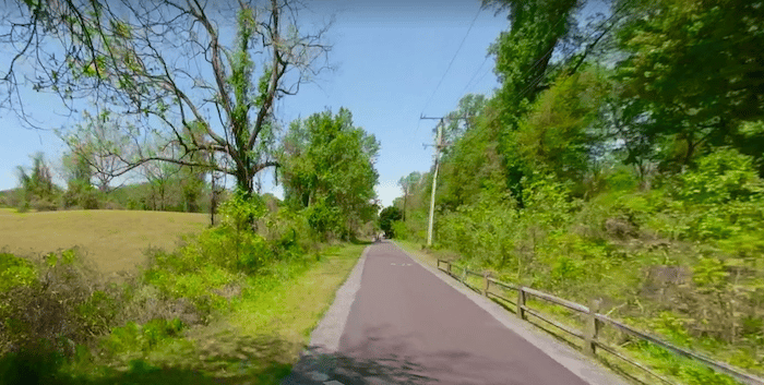
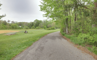
The B&A Trail is 13.3-mile paved mutli-use path stretching from Annapolis to Glen Burnie, just north of Baltimore. It’s the best spot in the Annapolis area for a long off-road run. The Annapolis trailhead is off Boulters Way, just north of Highway 50. There are half-mile markers along the way. Key distances and landmarks along the way, headed north:
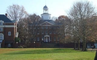
3 miles: Anne and Arundel Community College
4.5 miles: Sullivan’s Cove
4.7 miles: Severna Park
7 miles: B&A Trail Park HQ
8 miles: East-West Blvd., Bike Path, connect to Kinder Park Farm route, 0.5 miles west.
10 miles: Pasadena
13.3 miles: Saw Mill Creek Park, near Baltimore-Washington International Airport
At the 4.7 mile mark in Severna Park, is the Earleigh Heights Ranger Station (ca. 1889). A gazebo, horticultural gardens and park benches are found at the Hatton-Regester Green property in Severna Park.

Review or Comment on This Route/Share a Photo!
Share your feedback on this route and see that of other Great Runs users. Click on the image icon to upload a photo. And please let us know if there are notes or changes we should incorporate!