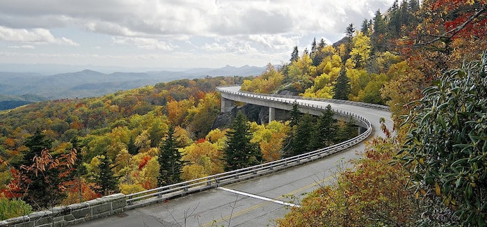
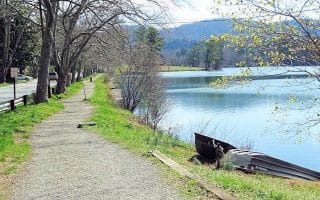
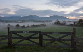
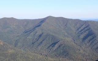
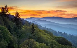
The Blue Ridge Parkway, known as ‘America’s Favorite Scenic Drive’ is a 469-mile ribbon of road weaving around the peaks of the stunning Blue Ridge Mountains connecting Shenandoah National Park (Virginia) and Great Smoky Mountains National Park (North Carolina). The southern end of the Parkway is near Asheville. Even though the Parkway is mainly a motorway (with no shoulder), there are some beautiful running spots. The closest access point of the Parkway to Asheville is the Asheville Visitor Center, at Milepost 382, 6 miles away.
From our running guide to the Blue Ridge Parkway, closest points to Asheville are:
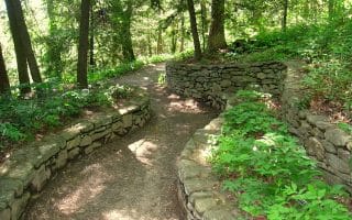
Mountains to Sea Trail: Section of MST Trail near the NPS Asheville Visitor Center are decent for running. Details on sections.
This link has information on the hiking and trail running opportunities along the part of the Blue Ridge Parkway closest to Asheville.
The Blue Ridge Parkway, known as ‘America’s Favorite Scenic Drive’ is a 469-mile ribbon of road weaving around the peaks of the stunning Blue Ridge Mountains connecting Shenandoah National Park (Virginia) and Great Smoky Mountains National Park (North Carolina). The southern end of the Parkway is near Asheville. Even though the Parkway is mainly a motorway (with no shoulder), there are some beautiful running spots. The closest access point of the Parkway to Asheville is the Asheville Visitor Center, at Milepost 382, 6 miles away.
From our running guide to the Blue Ridge Parkway, closest points to Asheville are:
Mountains to Sea Trail: Section of MST Trail near the NPS Asheville Visitor Center are decent for running. Details on sections.
This link has information on the hiking and trail running opportunities along the part of the Blue Ridge Parkway closest to Asheville.


Review or Comment on This Route/Share a Photo!
Share your feedback on this route and see that of other Great Runs users. Click on the image icon to upload a photo. And please let us know if there are notes or changes we should incorporate!