Features:
The area around Montreat College and Conference Center features an extensive network of trails. Some trails are easier, following old road beds, while others are much more challenging for more serious hiking/trail running. See the attached map with trail descriptions and distances (one-way). A few options:
Easier. Rainbow Rd. is the easiest longer trail run in this area. Old Mitchell Toll Road is another good option, but it has serious elevation gain!
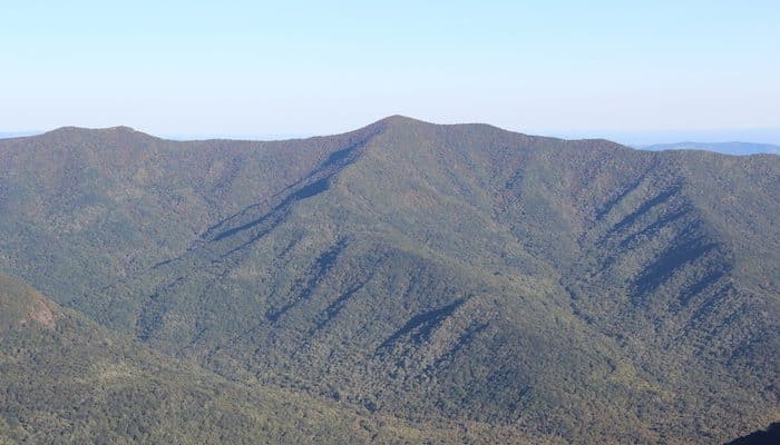
More Challenging. The Graybeard Trail is more challenging, especially on the descent, but it’s a favorite of local trail runners. The parking area is located across the street from the Walk Jones Wildlife Sanctuary. From there, it’s about 3.5 mile up over bridges, along creeks, and past a waterfall in the Boggs Wilderness. The rewards at the summit of Greybeard Mountain are the highest views in Montreat, including a vista of the Craggies to the west. On the descent, you can either backtrack on the Greybeard Trail or return on the West Ridge Trail over the Seven Sisters range.
Note: Be aware of signs and closures during bear hunting season.
- Depends on trail chosen
- Most have some elevation
- Depends on trail chosen
- Lookout Road


Comment on this Route/Share a Photo!
Share your feedback on this route and see that of other Great Runs users. Click on the image icon to upload a photo. And please let us know if there are notes or changes we should incorporate!