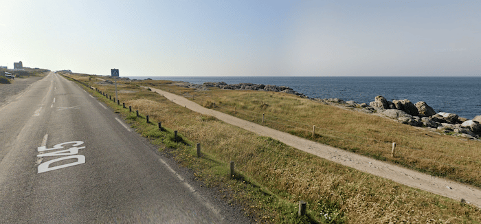
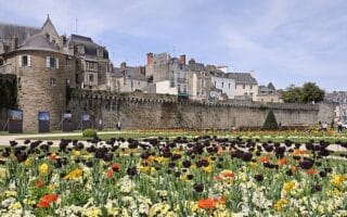
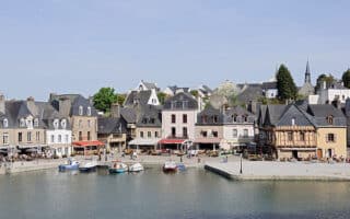
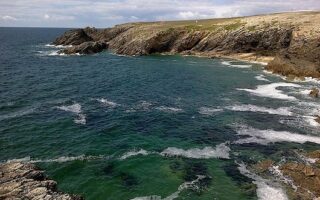
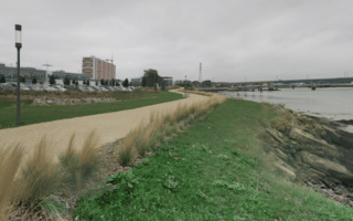
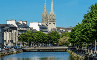
Fancy a loop around a peninsula with great water views? We love running around Le Croisic, which sticks out into the Bay of Biscay in western France. A gravel path parallels the main road, the D45, around the peninsula, to make a loop of 9.3 km. The path runs along the water side, is fairly flat and has good footing. The section along the southern end, the Côte Sauvage, is especially scenic. There’s a 1.5 section at the end that’s not along the water and not very pretty. Note: restrooms along the way.
Shortcut Option: Instead of the full peninsula loop, you can save ~1 km at the end by cutting back to the start, using Bd. Général Leclerc or Rue de Kervenel.


Review or Comment on This Route/Share a Photo!
Share your feedback on this route and see that of other Great Runs users. Click on the image icon to upload a photo. And please let us know if there are notes or changes we should incorporate!