Google Street View
Features:
Categories:
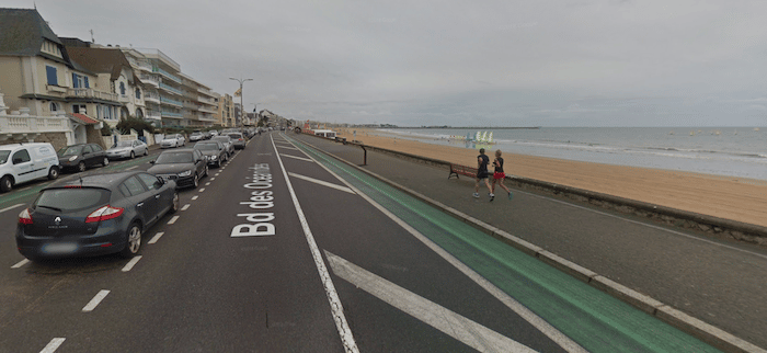
For a long, flat run combining a waterfront promenade and a good beach for running, we love the area between Pornichet to Le Pouliguen. Starting at the Tourist Office in Pornichet, there’s waterfront path/esplanade that goes follows the Bd de l’Océan. along the beach for for 6 km, and then turning into Esplanade Benoit for the last 1.5 km to the port/marina in Le Pouliguen. A festive scene, with great water views. The buildings along the way aren’t very charming.

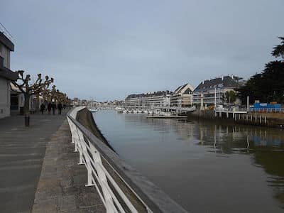
At Le Pouliguen, there’s the option to run along the Quai on both sides of the marina. This can add up to 2.5 km out and back.
The beach is also very runnable — wide, with firm sand (can be crowded in summer).
Essentials
- Up to 7.6 km (4.7 miles) between Pornichet and Le Pouliguen. The quai path in Le Pouliguen adds ~2.5 km out and back
- Flat
- Pornichet: Tourism office. Can also start anywhere along the way or at the marina in Le Pouliguen
- Parking areas and good access


Comment on this Route/Share a Photo!
Share your feedback on this route and see that of other Great Runs users. Click on the image icon to upload a photo. And please let us know if there are notes or changes we should incorporate!