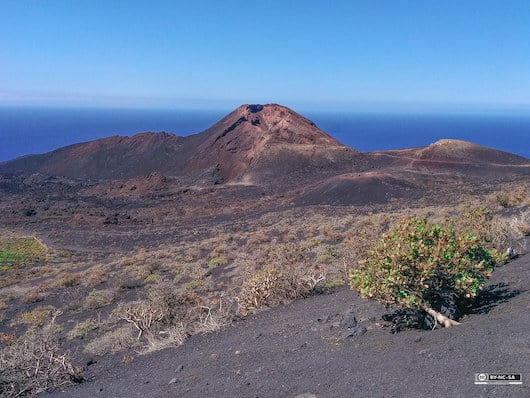
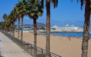
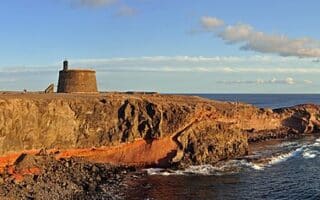
La Palma is a rugged, mountainous island best known for its picturesque volcano within Caldera de Taburiente National Park. The highlight of running is one of the numerous hiking trails within the park — though we note that it’s rugged, hilly running, with peaks rising to 2,000m. For several wonderful runs incorporating the volcano, we credit friend of Great Runs Keith Hauser.
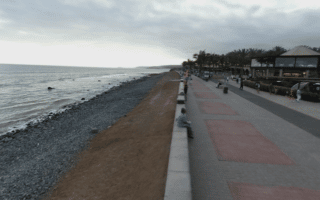
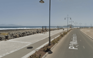
Ruta de Los Volcanos. 14.5 km, 758m. This route follows the Ruta de los Volcanes (E7) hiking trail that winds along the peaks among a variety of volcanic cones and lava fields that popped up, one by one, forming the south end of the island. The route is normally well-marked, heading north-south almost the whole way. It’s a great combination of terrain, from rain-forests to wide-open volcanic lava-flows as you run in and out of clouds, stepping along the edge of craters, with viewing out to the Atlantic. INFO ROUTE MAP
Barranco de las Angustia Trail Run. A 9 km out and back into the caldera — the biggest volcanic crater in the world. The route follows part of the LP 13 hiking trail. A challenging trail run. INFO ROUTE MAP
La Cumbrecita Trail Running Route. 3.1 km, 110m. A 3 km loop between the Mirador de la Cumbrecita, Mirador de la CumbrecitaLomo de las Chozas, and Mirador de los Roques. It’s an outlook along the southern edge of the caldera, the huge crater dominating the northern half of the island. There are great views into the crater and the nearby cliffs. INFO ROUTE MAP
La Palma is a rugged, mountainous island best known for its picturesque volcano within Caldera de Taburiente National Park. The highlight of running is one of the numerous hiking trails within the park — though we note that it’s rugged, hilly running, with peaks rising to 2,000m. For several wonderful runs incorporating the volcano, we credit friend of Great Runs Keith Hauser.
Ruta de Los Volcanos. 14.5 km, 758m. This route follows the Ruta de los Volcanes (E7) hiking trail that winds along the peaks among a variety of volcanic cones and lava fields that popped up, one by one, forming the south end of the island. The route is normally well-marked, heading north-south almost the whole way. It’s a great combination of terrain, from rain-forests to wide-open volcanic lava-flows as you run in and out of clouds, stepping along the edge of craters, with viewing out to the Atlantic. INFO ROUTE MAP
Barranco de las Angustia Trail Run. A 9 km out and back into the caldera — the biggest volcanic crater in the world. The route follows part of the LP 13 hiking trail. A challenging trail run. INFO ROUTE MAP
La Cumbrecita Trail Running Route. 3.1 km, 110m. A 3 km loop between the Mirador de la Cumbrecita, Mirador de la CumbrecitaLomo de las Chozas, and Mirador de los Roques. It’s an outlook along the southern edge of the caldera, the huge crater dominating the northern half of the island. There are great views into the crater and the nearby cliffs. INFO ROUTE MAP

Review or Comment on This Route/Share a Photo!
Share your feedback on this route and see that of other Great Runs users. Click on the image icon to upload a photo. And please let us know if there are notes or changes we should incorporate!