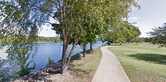
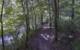
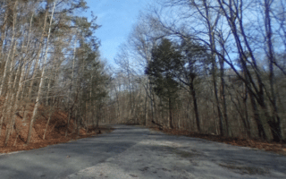
The Tennessee Riverwalk is a shining example of Chattanooga’s revitalization and the signature run in the city. The paved, multi-use path runs for 11 miles along the Tennessee River, with numerous access points and sights along the way. If starting downtown, the path runs south for 4 miles to the southside trailhead at W. 33rd St./St. Elmo Ave., or north for 7 miles to the Chickamauga Dam. There are river views a good part of the way, though a few sections turn inland and there are a few breaks in the path. Bonus: the path is lit and there are mile markers every 1/2 mile.
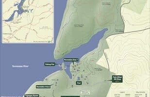
We’ve mapped the full Riverwalk, and attached a trail map as well which shows key sites. Among some of the nicer sections, heading south to north:
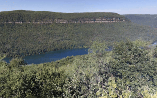
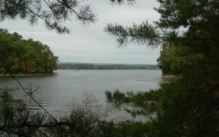
Miles 3-6: Nice 3-mile section right along the river
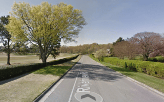
Miles 9-11.2: Riverpoint to Chickamauga Dam
Add-Ons: At mile 4 is the Walnut St. Pedestrian Bridge, one of the world’s longest pedestrian bridges, which crosses the river to paths in Coolidge Park & Renaissance Park (2 miles RT). At mile 9, connect to the S Chickamauga Creek Greenway, a 9-mile multi-use path. The Lookout Mountain Incline Railway and trails are ~1 mile south of the southern Riverwalk trailhead.


Review or Comment on This Route/Share a Photo!
Share your feedback on this route and see that of other Great Runs users. Click on the image icon to upload a photo. And please let us know if there are notes or changes we should incorporate!