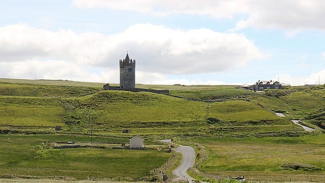
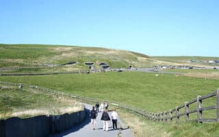
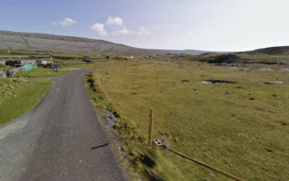
The Burren Way is a famous linear walking trail that covers 114 km from Lahinch to Corrofin. For those in the Cliffs of Moher area, there’s a nice way to get a taste of the Burren Way between Doolin and Fanore. The path is a mix of coastal, clifftop path with water views and inland sections passing through numerous farms and small settlements. Overall, it’s 15-20 km, depending on side routes. It’s a gradual uphill from Doolin to Fanore, with elevation gain of 290m. There are particularly wonderful views from the Slieve Elva (highest spot of the Burren), and at the coast in Fanore.
Add-Ons: Optional run/hike to the summit at Slieve Elva. At Fanore, pop down to the gorgeous beach. South of Doolin, continue on the Cliffs of Moher trail.
Review or Comment on This Route/Share a Photo!
Share your feedback on this route and see that of other Great Runs users. Click on the image icon to upload a photo. And please let us know if there are notes or changes we should incorporate!