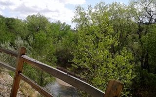
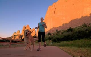
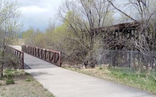
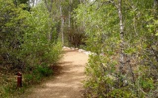
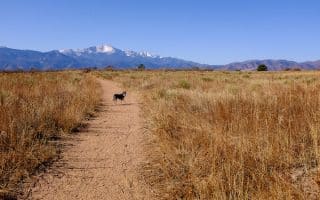
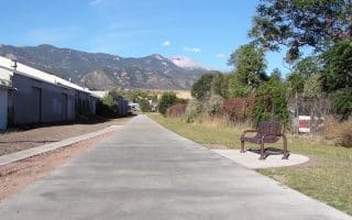
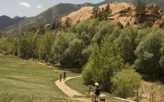
In central Colorado Springs, there are 10 miles of trails over 600 acres linking parks, trails and open spaces, including Pulpit Rock Park, University Park Open Space, and Austin Bluffs Open Space. The landscape is a mix of rock outcroppings, bluffs, hilly strands of grass, mesas and valleys. The trails are mainly sand/dirt and are easy to moderate in terms of difficulty and footing. This trail map is a helpful resource. A couple of route suggestions:
Austin Bluffs Open Space: A 2-mile loop connects University Park Blvd. with North Campus Heights.
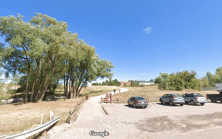
Pulpit Rock Trail. From the Pulpit Rock Trail parking lot, we’ve mapped a nearly 5 mile route that has two sections: a 1.5 mile, fairly flat route out to Spurwood Dr., and a very hilly 3 mile out and back section south and east to Butler Ct.
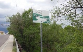
Note: waymarking isn’t very good.
In central Colorado Springs, there are 10 miles of trails over 600 acres linking parks, trails and open spaces, including Pulpit Rock Park, University Park Open Space, and Austin Bluffs Open Space. The landscape is a mix of rock outcroppings, bluffs, hilly strands of grass, mesas and valleys. The trails are mainly sand/dirt and are easy to moderate in terms of difficulty and footing. This trail map is a helpful resource. A couple of route suggestions:
Austin Bluffs Open Space: A 2-mile loop connects University Park Blvd. with North Campus Heights.
Pulpit Rock Trail. From the Pulpit Rock Trail parking lot, we’ve mapped a nearly 5 mile route that has two sections: a 1.5 mile, fairly flat route out to Spurwood Dr., and a very hilly 3 mile out and back section south and east to Butler Ct.
Note: waymarking isn’t very good.


Review or Comment on This Route/Share a Photo!
Share your feedback on this route and see that of other Great Runs users. Click on the image icon to upload a photo. And please let us know if there are notes or changes we should incorporate!