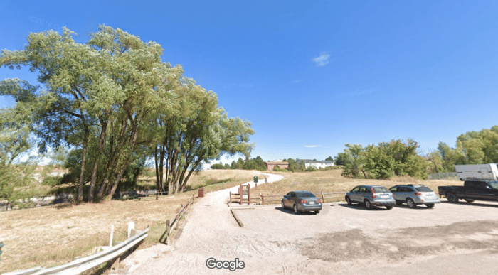
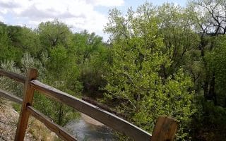
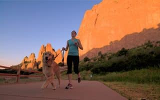
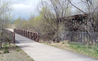
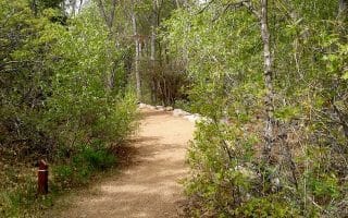
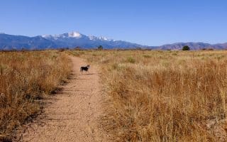
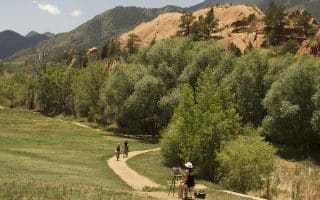
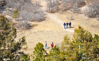
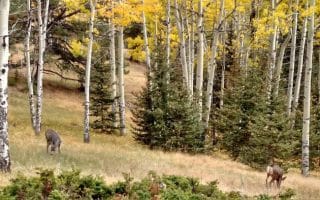
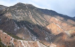
The New Santa Fe Regional Trail sits right on the outskirts of Colorado Springs. This very scenic trail following portions of the historic Atchison, Topeka, and Santa Fe Railroad, for 19 miles between northeast Colorado Springs and Palmer Lake. Great mountain views on this mainly smooth gravel path. It’s close by the United States Air Force Academy, so it’s not uncommon to see members of the armed forces training here.
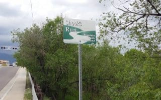
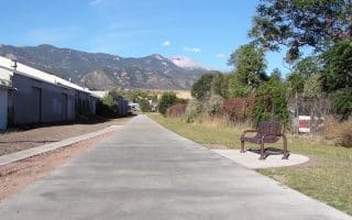
Pick up the south end of the trail in Northeast Colorado Springs where it meets the Pikes Peak Greenway, just north of Garden of the Gods Rd., and run north for up to 19 miles to Palmer Lake. The path mainly follows I-25 headed north, steadily climbing 1,200 feet over 19 miles. Alternatively, start toward the northern end if you’d prefer a descent!

Review or Comment on This Route/Share a Photo!
Share your feedback on this route and see that of other Great Runs users. Click on the image icon to upload a photo. And please let us know if there are notes or changes we should incorporate!