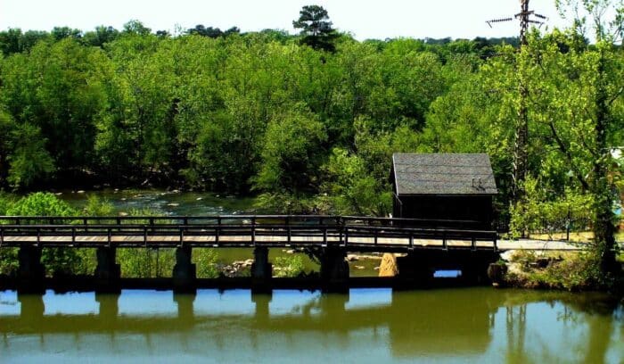
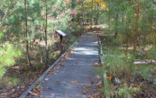
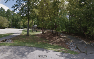
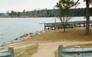
The Three Rivers Greenway is the signature running route in Columbia. The paved multi-use path follows the Broad River, Congaree River, and Columbia Canal for approximately 8 miles (one-way). There are several access points throughout Columbia, West Columbia, and Cayce, but most runners hop on at Riverfront Park in Columbia or Riverwalk Park in West Columbia. North Riverfront park is the northernmost point (on the east bank of the river), while Granby Landing road is the southernmost point (on the west bank of the river). Runners can connect the two segments by crossing the Gervais Street Bridge. The path runs for ~3 miles north of downtown and ~5 miles south.
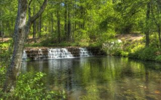
There are good water views most of the way.

Review or Comment on This Route/Share a Photo!
Share your feedback on this route and see that of other Great Runs users. Click on the image icon to upload a photo. And please let us know if there are notes or changes we should incorporate!