
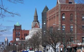
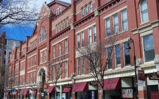
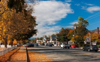
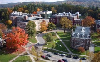
Concord 10k ‘Runseeing’ Tour
We’ve mapped a route of up to 10 km, showcasing downtown, the State House, and some area parks and trails. Start at City Hall and do a 1 mile jaunt around the gold-domed State House. Use Center St. headed west to do a loop around the trails and pond at White Park. Continue west on School St. to the hospital, take a shortcut through the parking lot, to St. Paul’s School, where you can add 1-2 miles on its beautiful campus paths and trails. Head back east on Redington Rd. to Memorial Field, which features a nice running track. Complete the route on Spring St., tree-lined with nice homes. Add-Ons; paths at St. Paul’s School, Winant Park trails just north of the hospital. Side streets between Center St. and Rt. 202 have nice homes.
Sewalls Falls Park and Morono Park Trails
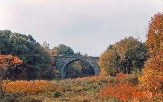
Combine these trails for a 4.3 mile run. This is one of the better opportunities to run along the Merrimack River in Concord. From a parking area just off 2nd St., a 1-mile trail runs north along the river, ending at at Sewalls Falls Rd. Nice views of the river and dam. Then take Sewalls Falls Rd. briefly to head back on the Sewalls Falls Park Trail headed back south, next to the golf course. Cross 2nd St. to enjoy another 1 mile on the Morono Park Trail.
Winant Park and Marjory Swope Park
Combining the trails of Winant Park and Marjory Swope Park offers a good opportunity for some trail running for all abilities. Winant Park is located just west of the Concord Hospital and has 2.6 miles of well-blazed trails. Take the 0.7 mile Yellow Trail to a water tower, and then combine the Cart Path and Backwoods (Orange and Red) trails. For a more ambitious run, from the parking lot use the connector trail for 1.6 miles to Marjory Swope Park, which has 1.75 miles of trails. For a challenge — and great views — take the summit trail to Jerry Hill. Add-On: Lovely campus and trails at St. Paul’s School, just across Pleasant St.
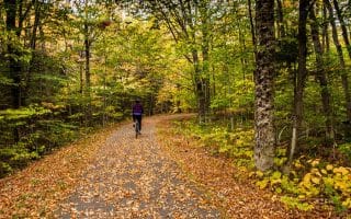
West End Farm Trail
One of our favorite places to run in the Concord area. Gorgeous trail combining farm fields, woods, and an apple orchard. A fairly easy trail run, passing through Silk Farm, Diamond Hill Farm, and Rossview Farm, to Carter Hill Orchard. It’s up to 7.3 miles one-way (see note for Rossview connector), with good options to vary the length. Add-Ons: Trails at Carter Hill Orchard connect to Swope Park & Winant Park (see above). Also the trails at St. Paul’s school are right across from the Audubon Ctr.
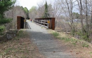
Jim Lehtinen Park, Jim Hill River Walk, Mast Yard State Forest
Mix and match these areas on the Concord/Hopkinton line for easy trail running with good variety. A highlight is the 2.5 mile trail along the east side of the Contoocook River at Jim Lehtinen Park. On the west side of the river is the 0.9 mile Jim Hill River Walk Trail. Combine with the 5 miles of shady forest trails at Mast Yard State Forest, including an easy trail along an old railroad bed. The trail map shows how these can be easily combined.
Bear Brook State Park
At 10,000 acres, Bear Brook State Park is the largest developed state park in New Hampshire. Located 13 miles southeast of Concord. Many, many miles of trails for all abilities. Note: trail running. See trail map.
Review or Comment on This Route/Share a Photo!
Share your feedback on this route and see that of other Great Runs users. Click on the image icon to upload a photo. And please let us know if there are notes or changes we should incorporate!