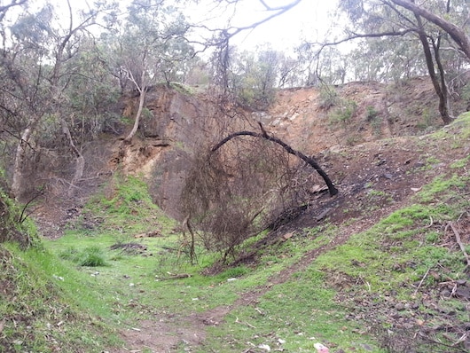
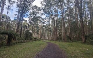
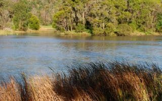
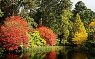
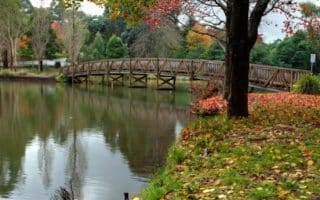
Located next to the popular Lysterfield Lake, Churchill Park offers excellent trail running opportunities. It can be treated as an add-on to Lysterfield Park or explored in its own right. Some of the national park is still the original forest that existed prior to settlement, however most is now open regrowth woodland. The Park has a wide variety of birds and other wildlife such as wallabies and kangaroos, though many only make an appearance at night. Though not a large park, there are some very steep climbs, which are rewarded with some spectacular views. Many mountain bikers ride through Churchill as part of a Lysterfield Ride, so keep an eye out. A useful guide and map is provided by Parks Victoria and can be found here. There are facilities at the car park/entrance.
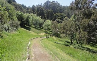
Option 1: Trig Point Lookout Route. This is a great run/hike to the Trig Point Lookout, which features 360 degree views of Melbourne. From the main carpark, head along Channel Track/Syphon Walk and continue onto Stonemasons Track, then Lysterfield Hills Track at the T intersection. After 2.8 km you will be at the Trig Point Lookout.
Option 2: Churchill Park loop route. From the main carpark, head along Channel Track/Syphon Walk and continue onto Stonemasons Track, then North Boundary Track at the T intersection. Eventually at a four way intersection, turn left onto Army Track. Turn left onto Channel Track to follow it all the way back to the start.
Add-On: You may also follow the Lysterfield Hills Track across the hill and down into the Lysterfield Lake Park (see our routes there).
Located next to the popular Lysterfield Lake, Churchill Park offers excellent trail running opportunities. It can be treated as an add-on to Lysterfield Park or explored in its own right. Some of the national park is still the original forest that existed prior to settlement, however most is now open regrowth woodland. The Park has a wide variety of birds and other wildlife such as wallabies and kangaroos, though many only make an appearance at night. Though not a large park, there are some very steep climbs, which are rewarded with some spectacular views. Many mountain bikers ride through Churchill as part of a Lysterfield Ride, so keep an eye out. A useful guide and map is provided by Parks Victoria and can be found here. There are facilities at the car park/entrance.
Option 1: Trig Point Lookout Route. This is a great run/hike to the Trig Point Lookout, which features 360 degree views of Melbourne. From the main carpark, head along Channel Track/Syphon Walk and continue onto Stonemasons Track, then Lysterfield Hills Track at the T intersection. After 2.8 km you will be at the Trig Point Lookout.
Option 2: Churchill Park loop route. From the main carpark, head along Channel Track/Syphon Walk and continue onto Stonemasons Track, then North Boundary Track at the T intersection. Eventually at a four way intersection, turn left onto Army Track. Turn left onto Channel Track to follow it all the way back to the start.
Add-On: You may also follow the Lysterfield Hills Track across the hill and down into the Lysterfield Lake Park (see our routes there).


Review or Comment on This Route/Share a Photo!
Share your feedback on this route and see that of other Great Runs users. Click on the image icon to upload a photo. And please let us know if there are notes or changes we should incorporate!