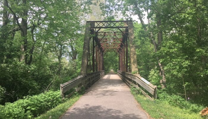
For a longer distance off-road destination run, the Little Miami Scenic Trail is a good option. The 78-mile trail, which runs from Springfield to Anderson Township, is the longest trail in the extensive Miami Valley Trails System. It follows the outline of the Little Miami River (though not always right alongside it), passing through numerous small towns, and by fields of corn and soybeans. In summer, many use the trail to access favorite fishing and canoeing spots.
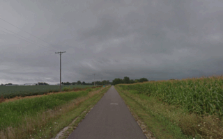
The closest access points to Dayton are in the corridor between Xenia and Yellow Springs. From Xenia, it’s ~20 miles north to the northern trailhead at Springfield, following historic rail corridors, or up to 55 miles south to the trailhead in Newtown, near Cincinnati. The landscape is more pastoral and farm-like headed south. Note that headed north from Xenia, the trail is a gradual uphill.
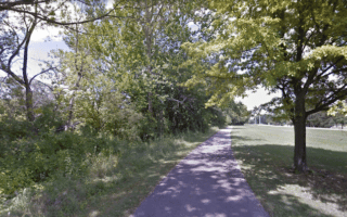
Add-Ons/Options: There are intersections with other multi-use trails. Near Xenia Station, access the paved, multi-use Prairie Grass Trail heads northeast to Cedarville and South Charleston. 18 miles.


Review or Comment on This Route/Share a Photo!
Share your feedback on this route and see that of other Great Runs users. Click on the image icon to upload a photo. And please let us know if there are notes or changes we should incorporate!