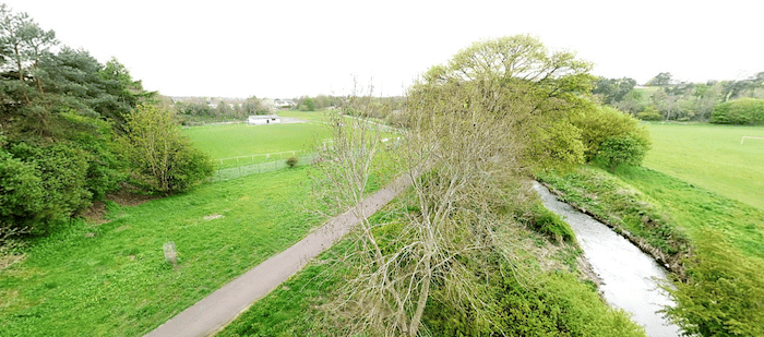
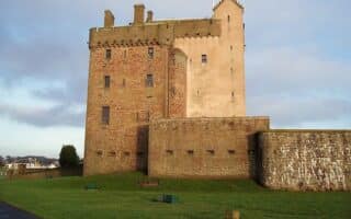
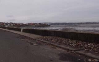
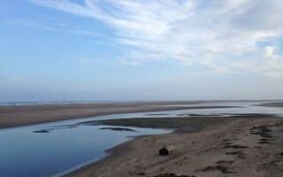
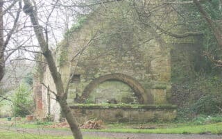
This is a pleasant run on a path through a series of small parks lining the Dighty Burn, a narrow tributary of the River Tay. The closest start to Dundee is about 4 miles east at the 16th-century Claypotts Castle. Follow the path, headed west of Baldovie Rd., for up to 4.3 miles to Emmock Rd., just past the Trottick Ponds.
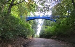
It’s a nice ribbon of green, as you pass through Drumgeith Park (1.6 miles), Finlathen Park (2 miles), Claverhouse Park (3.3 miles), and Trottick Ponds (3.8 miles). The terrain is mainly open and park-like, with a few forested sections. It’s a modest rise headed east to west.
This is a pleasant run on a path through a series of small parks lining the Dighty Burn, a narrow tributary of the River Tay. The closest start to Dundee is about 4 miles east at the 16th-century Claypotts Castle. Follow the path, headed west of Baldovie Rd., for up to 4.3 miles to Emmock Rd., just past the Trottick Ponds.
It’s a nice ribbon of green, as you pass through Drumgeith Park (1.6 miles), Finlathen Park (2 miles), Claverhouse Park (3.3 miles), and Trottick Ponds (3.8 miles). The terrain is mainly open and park-like, with a few forested sections. It’s a modest rise headed east to west.

Review or Comment on This Route/Share a Photo!
Share your feedback on this route and see that of other Great Runs users. Click on the image icon to upload a photo. And please let us know if there are notes or changes we should incorporate!