Located at the southern end of Cayuga Lake, Ithaca is the largest city in the Finger Lakes region. It’s home to Cornell University, Ithaca College, museums, and numerous state parks and waterfalls. This post is focused on the best off-road options for running in Ithaca, while a companion post is focused on running options around Cornell. Ithacatrails.org is a wonderful resource on area trails for various activities.
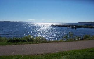
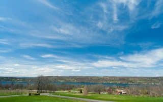
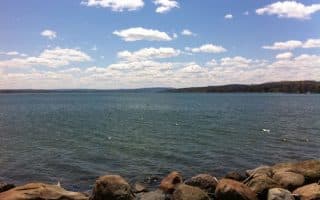
Cayuga Waterfront Trail. This is the running highlight in Ithaca. Start near the intersection of Cliff St. & State St. and do it in any order. Our route starts by heading south on Floral Ave., then the west site of the trail through Ithaca Gardens and Cass Park. Then, explore the east side, with an 0.5 mile jaunt up to Sixmile Creek, and then the eastern side of the Cayuga Inlet, along the municipal golf course, and around Stewart Park. The entire 9.4 mile route is off-road, with parks and water views. Do the whole route or in sections! ROUTE MAP. TRAIL MAP
Black Diamond Trail. This 8.4 mile gravel path heads northwest from Ithaca. For the first 4 miles, it parallels Rt. 89/Taughannock Blvd. along the western side of Cayuga Lake, and then heads west after crossing Rt. 142, terminating at Taughannock Falls State Park. Heading north, it’s a steady 500 foot climb, with a couple of short, steep sections. Mainly wooded. ROUTE MAP
Ithaca College Natural Lands. About 7 miles of trails, not too challenging and good for running. This link has descriptions of the individual trails.
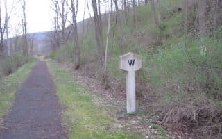
South Hill Recreation Way. Multi-use trail along former rail bed easily accessible from downtown. Good surface and very pretty for running, with woods, creeks, small gorges, and parks. About 3 miles long, with a couple of spurs. Start: Hudson & Hillview. ROUTE MAP
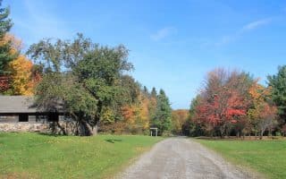
Robert Treman Park. This state park located 5 miles southeast of town is famous for the Enfield Glen and Lucifer Falls gorges. The best trail running option is along the Gorge Trail, which passes numerous waterfalls. Trail Map
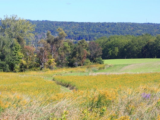
Bock-Harvey Forest Preserve. 48-acre preserve located 8 miles southwest of Ithaca has lovely trails through fields and woods. ~2 miles of running here. Combine with some lovely farm road running in the area. Information & Trail Map
Jim Schug Trail. This rail trail starts from the village of Dryden, 13 miles east of Ithaca, and runs for 4 miles to Rt. 157, passing the Dryden Lake area. Pleasant and fairly flat, with some woods, fields, and lake views. Route Map.
Lansing Center Trail. Nearly 3 miles of trails around the perimeter of farms and fields. Lovely, open running with great views. Located 7 miles north of Ithaca.


Review or Comment on This Route/Share a Photo!
Share your feedback on this route and see that of other Great Runs users. Click on the image icon to upload a photo. And please let us know if there are notes or changes we should incorporate!