Features:
Categories:
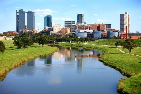
The best running in Fort Worth is using the extensive Trinity Trails system. There are 100 miles of trails along the Trinity River and its tributaries for walking, running, cycling or on horseback. The trail network connects with 31 neighborhoods and 21 parks, the Fort Worth Botanic Garden and Japanese Garden, Log Cabin Village, Fort Worth Zoo, the historic Stockyards and downtown Fort Worth. There are 17 trailheads located throughout Fort Worth. This trail map is an excellent resource, as is this interactive map. In central Fort Worth, Heritage Park Plaza is a good anchor point, with options to head north or south, or west along the water through several parks. Some favorite sections in central Fort Worth, which can be creatively combined:


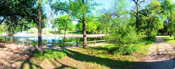
Trinity Park to Fort Worth Zoo. Another nice section from downtown is the 1.5 miles heading south along the river in Trinity Park. Take 7th Ave. about 1 mile west to the park and join the trail on the west side of the river. It’s 1.4 miles to the Botanical Garden and 2.1 miles to the Fort Worth Zoo. A trail continues further southwest. You can also do a nearly 3-mile loop right in 250-acre Trinity Park.
University Park Village to Highway 183. Up to 5 miles on riverside multi-use paths from University Park Village/Fort Worth Zoo south to Highway 183. A favorite 3-mile mile section of the Trinity Trails among local run clubs is the route to Press Cafe in Clearfork. ROUTE MAP
Map of Fort Worth Trail System

Comment on this Route/Share a Photo!
Share your feedback on this route and see that of other Great Runs users. Click on the image icon to upload a photo. And please let us know if there are notes or changes we should incorporate!