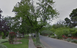
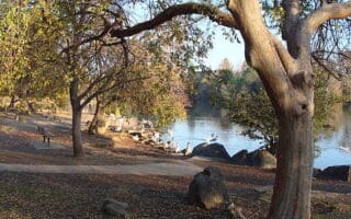
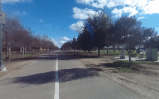
The Lewis S. Eaton Trail is one of the best spots for an off-road run in Fresno. The paved multi-use trail is a 4.4 mile route along the San Joaquin River Parkway in the northern part of Fresno. The trail runs mainly along a bluff overlooking the San Joaquin River, with nice views, through the south and east sections of Woodward Park. There’s also an 0.75 mile connector section that comes off the Yosemite Fwy. (Highway 41) at the eastern end of the park.
Note: There are plans to add to the trail over time — when complete, the Lewis S. Eaton trail system will cover 22 miles (35 km) between Highway 99 and Friant Dam.
Add-Ons: See our route in Woodward Park for additional trails, including the Thomas MacMichael Loop Trail, which connects to the Lewis S. Eaton Trail.
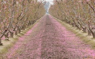


Review or Comment on This Route/Share a Photo!
Share your feedback on this route and see that of other Great Runs users. Click on the image icon to upload a photo. And please let us know if there are notes or changes we should incorporate!