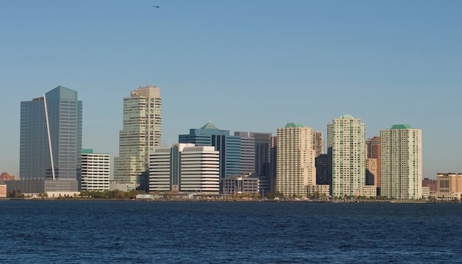
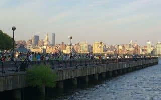
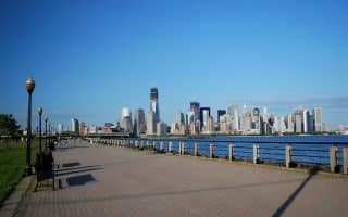
Running along the Jersey City waterfront is part of an extensive series of paths stretching north from Liberty State Park for nearly 10 miles. The Jersey City section of the Hudson River Waterfront Walkway runs for 3.2 miles from Morris Canal Park, north to Pier A Park in Hoboken. There are great views of the Hudson River and Manhattan skyline. Landmarks include the Korean War Veterans Memorial, the famous Colgate Clock, Owen Grundy Park promenade, Newport Marina, and the Lefrak Point Lighthouse as you approach the Holland Tunnel. Just to the west of the path, there are numerous skyscrapers, hotels, and office buildings.
Longer Run Options: Hop on the ferry at the Morris Canal Basin and for $2 you can be at Liberty State Park and enjoy our route there! Or, at Hoboken, you can continue north along the waterfront path for another ~6 miles.


Review or Comment on This Route/Share a Photo!
Share your feedback on this route and see that of other Great Runs users. Click on the image icon to upload a photo. And please let us know if there are notes or changes we should incorporate!