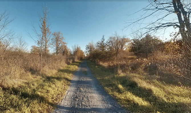
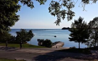
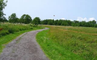
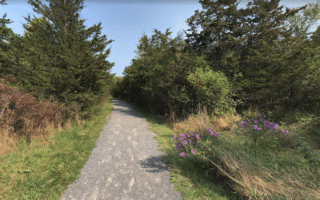
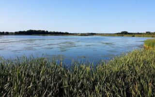
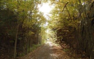
The K&P Trail offers a good opportunity for a longer distance run in Kingston. The multi-use path follows an old railroad bed between Kingston and Orser Rd. at the City of Kingston boundary. There’s a mix of terrain, including a 2 km waterfront section in Kingston, natural open landscapes, rock cuts, woodland, and wetlands.
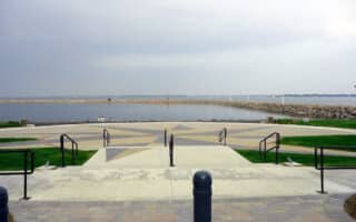
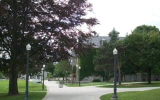
There are two sections of the trail. The 7 km Urban section is paved, starting at Confederation Park in historic Kingston. Follow the waterfront east for 2 km, then turn inland at River St. Head north to the Binnington Court access point. This is the start of the unpaved Rural section, northwest to Orser Rd. This trail map has excellent information on distances and landmarks.
Add-Ons: Can combine with our Waterfront route. Also, from the northern terminus of the K&P Trail, pick up the Cataraqui Trail, which continues north for another 84 km to Smiths Falls.
The K&P Trail offers a good opportunity for a longer distance run in Kingston. The multi-use path follows an old railroad bed between Kingston and Orser Rd. at the City of Kingston boundary. There’s a mix of terrain, including a 2 km waterfront section in Kingston, natural open landscapes, rock cuts, woodland, and wetlands.
There are two sections of the trail. The 7 km Urban section is paved, starting at Confederation Park in historic Kingston. Follow the waterfront east for 2 km, then turn inland at River St. Head north to the Binnington Court access point. This is the start of the unpaved Rural section, northwest to Orser Rd. This trail map has excellent information on distances and landmarks.
Add-Ons: Can combine with our Waterfront route. Also, from the northern terminus of the K&P Trail, pick up the Cataraqui Trail, which continues north for another 84 km to Smiths Falls.

Review or Comment on This Route/Share a Photo!
Share your feedback on this route and see that of other Great Runs users. Click on the image icon to upload a photo. And please let us know if there are notes or changes we should incorporate!