If you fancy some languid, flat, open running on nearly traffic-free farm roads, head to Wolfe Island. This island, officially located in Ontario and connected to Cape Vincent (NY) on the south end and Kingston (ON) by ferries, the island is mainly crisscrossed by a series of roads passing by farms. Only the main road (Rt. 95) is paved. The south end of Wolfe Island is Point Alexandria, and is connected to Cape Vincent via a 10-minute ferry ($5 for passenger only, $25 for vehicle). The north end at Dawson Point/Marysville connects to Kingston via a 20-minute ferry (free!). REMEMBER YOUR PASSPORT!! FERRY INFO
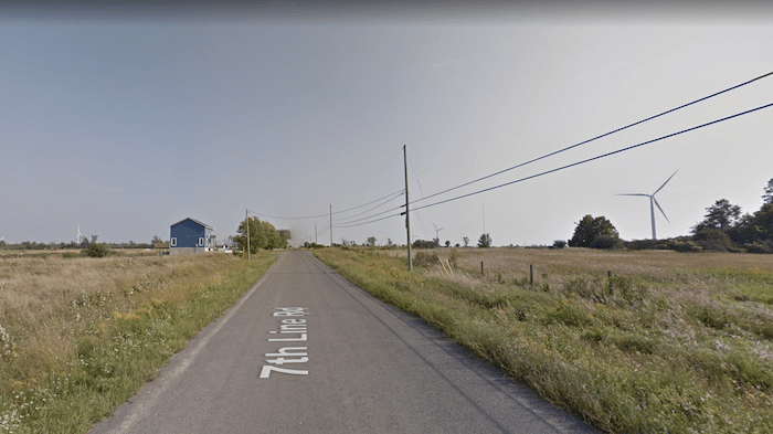
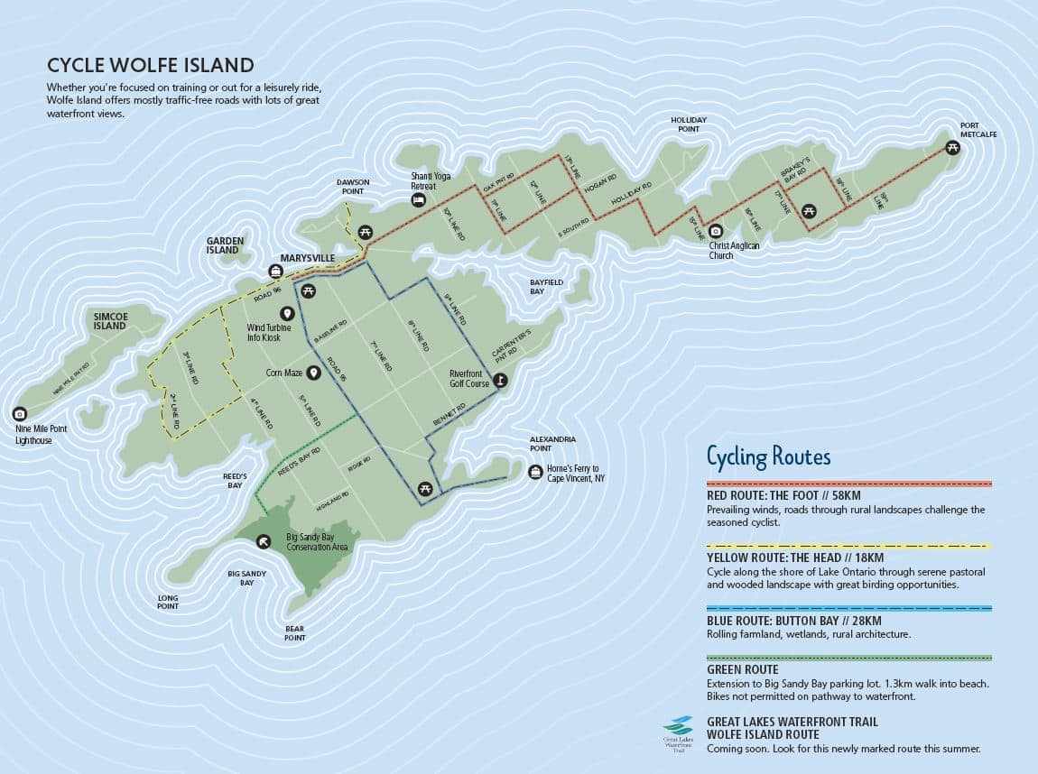
Once on Wolfe Island, create your own route. The main road, Rt. 95, is nearly 7 miles (11 km) north-south. The other north-south roads are 2nd Line to 9th Line, from east to west, and are 4-6 miles in length. The main east-west roads are State Line Rd. and Reeds Bay Rd. and are 5-6 miles in length. All are dirt surface.
You can also follow parts of some of the cycling routes on the island.
- Create your own route. Roads are 5-7 miles (8-11 km) north-south and 5-6 miles east-west
- Flat
- Anywhere on island or one of the ferry terminals


Comment on this Route/Share a Photo!
Share your feedback on this route and see that of other Great Runs users. Click on the image icon to upload a photo. And please let us know if there are notes or changes we should incorporate!