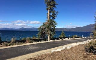
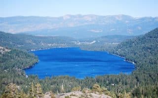
Tahoe City is a center of activity in the Tahoe area, located on Lake Tahoe 14 miles southeast of Donner Pass and 5-6 miles from the Squaw Valley and Alpine Meadows ski areas. The main roads around Tahoe City are not great for running, as they are busy and don’t have good shoulders. Best options for running in the area are:
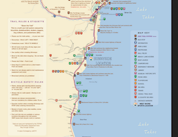
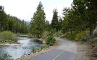
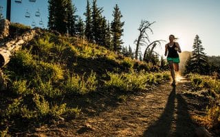
Truckee River Trail: Paved, multi-use path that runs for 5 miles to Squaw Valley, paralleling Highway 89 (River Rd.). Start at Fairway Dr. Route description & map.
Fairway Dr./Golf Course Loop. For a quickie or some laps, do a 1.7 mile (2.7 km) loop around the Tahoe City Golf Course, using Fairway Dr., Grove St., & North Lake Blvd. There’s a sidewalk along this section of N. Lake Blvd.
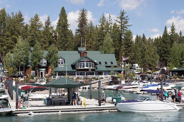
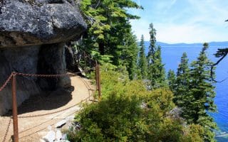
Path Along Marina & N. Lake Blvd. In town, a multi-use path starts at the Marina/Commons Beach, with great views of the water, and then continues east along N. Lake Blvd.(Rt. 28) for 2.7 miles to Dollar Dr. The section along the road is safe but not overly scenic, as it’s a busy road and there aren’t water views for much of the way. Note that the section from 1.7 miles to Dollar Dr. is a steady, steep climb. MAP
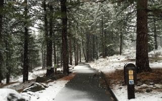
Dollar Creek Shared Use Trail. This is a new, 2.2 mile paved bike path loop that runs toward Old County Rd., sort of a continuation of the path to Dollar Dr. Scheduled for completion in 2018. Information.
Tahoe City is a center of activity in the Tahoe area, located on Lake Tahoe 14 miles southeast of Donner Pass and 5-6 miles from the Squaw Valley and Alpine Meadows ski areas. The main roads around Tahoe City are not great for running, as they are busy and don’t have good shoulders. Best options for running in the area are:
Truckee River Trail: Paved, multi-use path that runs for 5 miles to Squaw Valley, paralleling Highway 89 (River Rd.). Start at Fairway Dr. Route description & map.
Fairway Dr./Golf Course Loop. For a quickie or some laps, do a 1.7 mile (2.7 km) loop around the Tahoe City Golf Course, using Fairway Dr., Grove St., & North Lake Blvd. There’s a sidewalk along this section of N. Lake Blvd.
Path Along Marina & N. Lake Blvd. In town, a multi-use path starts at the Marina/Commons Beach, with great views of the water, and then continues east along N. Lake Blvd.(Rt. 28) for 2.7 miles to Dollar Dr. The section along the road is safe but not overly scenic, as it’s a busy road and there aren’t water views for much of the way. Note that the section from 1.7 miles to Dollar Dr. is a steady, steep climb. MAP
Dollar Creek Shared Use Trail. This is a new, 2.2 mile paved bike path loop that runs toward Old County Rd., sort of a continuation of the path to Dollar Dr. Scheduled for completion in 2018. Information.

Review or Comment on This Route/Share a Photo!
Share your feedback on this route and see that of other Great Runs users. Click on the image icon to upload a photo. And please let us know if there are notes or changes we should incorporate!