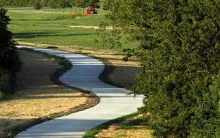
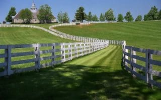
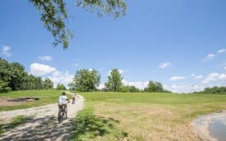
At the northern end of Masterston Station Park, the attractive roads passing by horse farms and fields are a popular run for locals. This is rolling hill terrain using Spurr Rd. and Bethel Rd., which have no shoulder but are fairly lightly trafficked weekend mornings and during the day. It can be busier during rush hours.
Starting at the northern end of the park at Shelter 2, run out of the park and turn LEFT on Spurr Rd. (RT. 1977), passing Dromoland Farm on the right. At the 2.4 mile mark, turn LEFT on N. Yamalton Pike (still Rt. 1977) for 0.5 miles, and then RIGHT on Bethel Rd. This is a very pretty road, lined with trees and stone walls, with views to farm fields. You can run for several miles, but our route turns around at just past the 5 mile mark. Retrace your steps for the return.
Add-Ons: You can continue for a few more miles west on Bethel Rd. Closer to the start, see our route in Masterston Station Park and the Town Branch Trail.
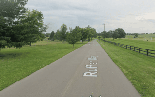


Review or Comment on This Route/Share a Photo!
Share your feedback on this route and see that of other Great Runs users. Click on the image icon to upload a photo. And please let us know if there are notes or changes we should incorporate!