Features:
Categories:
Brunswick has three things unique going for it from a running perspective: the pretty campus of Bowdoin College, a few cool bridges, and a bike path along the Androscoggin River. There are also some other good running options nearby. Our recommendations for running in Brunswick and vicinity:
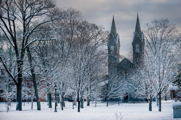
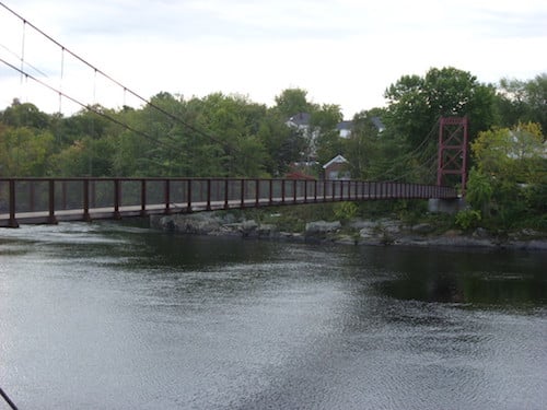
Brunswick Main Tour. This 5.3 mile curated route showcases the pretty campus of Bowdoin College, Brunswick’s main streets, and three bridges over the water. Start at the Chamberlain Museum on Maine St. and run toward the river for 1/2 mile. Head east on Water St., and over the Bridge (Rt. 196). Then turn LEFT, heading east, Elm St., then Rt. 201 to Summer St. bearing left on the bike path, leading to the Swinging Bridge. Head over the Bridge, and then on Oak St., making your way back to the start using Federal St. for variety. For a longer run, combine with bike path (below). MAP

Androscoggin River Bike Path. From the Rt. 196 bridge in downtown Brunswick, this dedicated, paved path runs for 2.5 miles east. Its proximity to busy Rt. 1 is mitigated by good river views. MAP
Bowdoin Campus. Enjoy a couple of miles on this pretty campus, right in the center of Brunswick. Can be combined with other area running.
Brunswick Town Commons Trails. Nearly 1,000 acres and 6 miles of trails, right off the Bowdoin campus and heading as far as Middle Bay Road. Trail Map.
Crystal Spring Farm. 3-4 miles of very pretty trails on this farm administered by the Brunswick-Topsham Land Trust, 3 miles south of downtown Brunswick. Note: Reserved for X-C skiing in winter. Trail Map.
Pineland Farms. Inland from Yarmouth/Freeport/Brunswick, this 5,000 acre working farm is a great place for a destination run. 30 km of trails, with a wonderful combination of woods, fields, and farm buildings, on rolling terrain. Full info. Trail Map.
Cliff Trail, Harpswell. More of a run/hike for trail runners, this 2.3 mile loop trail is a treat, combining woods with coastal views from 15-foot high cliffs. Located 9 miles south of downtown Brunswick. Footing can be a challenge. Trail Map.


Comment on this Route/Share a Photo!
Share your feedback on this route and see that of other Great Runs users. Click on the image icon to upload a photo. And please let us know if there are notes or changes we should incorporate!