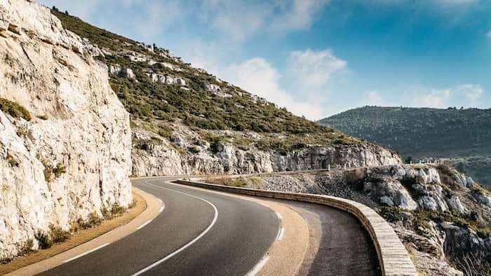
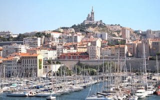
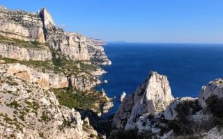
This is the course of a well-known road 20km (12 mile) race, held the last Sunday of October, that attracts some 12,000 runners. The day prior, a ‘ramble’ is held, where people walk the course. The route follows the beautiful road between Marseille and Cassis, the D559. The road winds its way through the dry hills between the two cities, through olive groves and forests in part, with great views. We’ve included a route map and the official map of the race course.
Note, this is a one-way run and it is hilly! It is 1,450 feet of elevation gain over the course, most of which happens in the first 6 miles heading out of Marseille, with an average grade of 3%. You can do this run one-way, and then take the 25-minute train ride back to Marseille (or take the train to Cassis and run to Marseille, which is more downhill!). This is a busy road, but there is a decent enough shoulder for running. It can be hot and dry, so hydrate accordingly! There are viewpoint pullouts along the way.
Follow the D559 nearly the whole way, but then at the roundabout at the edge of the Cassis Forest, take the D41E, Avenue de Carnoux to the Chemin du Plan de l’Olive, which will end up at the Cassis train station.


Review or Comment on This Route/Share a Photo!
Share your feedback on this route and see that of other Great Runs users. Click on the image icon to upload a photo. And please let us know if there are notes or changes we should incorporate!