Features:
The leafy paths along the Moselle River are among the best places to run in Metz. One can run for many km north or south of the city. We’ve mapped two routes, which can be mix & matched, both starting in the historic center in the area of the Metz Cathedral.
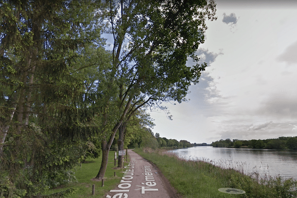
Moselle River Path North. One can run for many, many km north along the Moselle River, almost all of it on paved multi-use paths. It’s possible to start in central Metz, but there’s a not so great, ~1 km section around the E21/A31 highway tangle. North of the Pont Mixte, (pont=bridge), the path follows the west bank of the river, as the Véloroute Charles le Téméraire. The landscape opens up into farmland, with trees shielding the river views. Run for as many km as you like! It’s 12 km to Argancy. North of the A4, the path skirts briefly west and continues as the Chem. de l’Ecluse north along the Canal des Mines de Fer de la Moselle. We’ve mapped another 10 km along the canal to d’Uckange (train station there).
Moselle River Path South. This path heads south along the Moselle River for 6.2 km to Moulins-lès-Metz. From the Cathedral, cross over to the west side of the river, run through the Square du Luxembourg park, and cross the Pont de Mortz to join the Véloroute Charles le Téméraire (cycle path) headed south. This is a scenic route, with nice river views, especially as the path crosses a series of islands. Note: the Véloroute continues for many km south, but the connection in Moulins-lès-Metz is very tricky.
- North route: up to 12 km to Argancy, and another 10 km along the canal; South Route: 6.2 km to Moulins-lès-Metz
- Fairly Flat
- Metz Cathedral area is a good central starting point, but can start anywhere


Comment on this Route/Share a Photo!
Share your feedback on this route and see that of other Great Runs users. Click on the image icon to upload a photo. And please let us know if there are notes or changes we should incorporate!