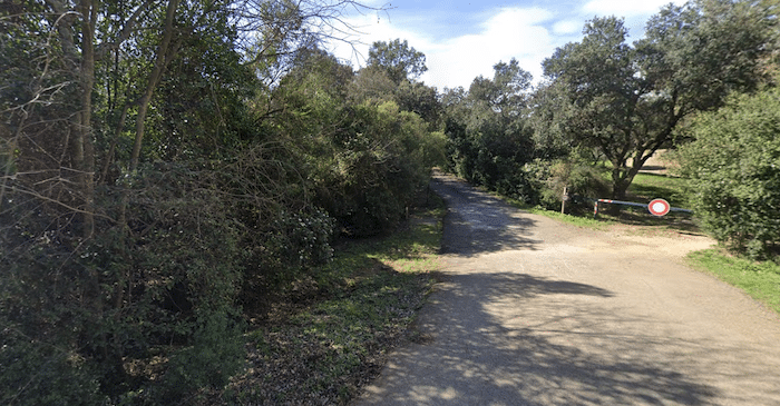
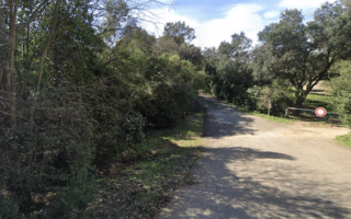
The best bet for a longer distance off-road run in the Nîmes area is to choose a section of the cycle path that runs for nearly 20 km between Caveirac and Sommières. The paved multi-use path runs through mostly farm type terrain, connecting numerous small towns: Langlade, Saint-Dionisy, Calvisson, & Congénies.
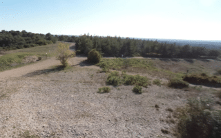
The closest access point to Nîmes is 8 km west in Caveirac, which is the eastern trailhead of the path. The path is in the vicinity of the D40 for the first ~11 km. The final 7-8 km west of Congénies is especially pastoral.
The best bet for a longer distance off-road run in the Nîmes area is to choose a section of the cycle path that runs for nearly 20 km between Caveirac and Sommières. The paved multi-use path runs through mostly farm type terrain, connecting numerous small towns: Langlade, Saint-Dionisy, Calvisson, & Congénies.
The closest access point to Nîmes is 8 km west in Caveirac, which is the eastern trailhead of the path. The path is in the vicinity of the D40 for the first ~11 km. The final 7-8 km west of Congénies is especially pastoral.


Review or Comment on This Route/Share a Photo!
Share your feedback on this route and see that of other Great Runs users. Click on the image icon to upload a photo. And please let us know if there are notes or changes we should incorporate!