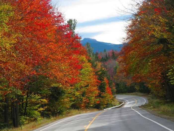
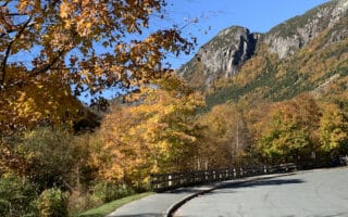
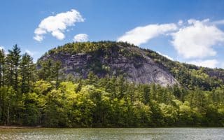
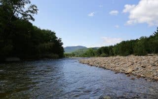
Although popular among sightseeing motorists and hardcore bicyclists, “the Kanc” has a wide enough shoulder for runners who want to take in the views on this scenic stretch of highway. This section of route 112 spans 32 miles between Lincoln and Conway, and boasts many trailheads, but the most spectacular views on the road itself are around the CL Graham/Wangan Grounds Scenic Overlook, the highest point where two rivers spill down from Mount Kancamagus. Running along the Kancamagus is a treat…and a challenge.
One can run along any spot of the highway. We’ve mapped a route that starts from the CL Graham Picnic Area just west of the pass and the Pemigewasset Overlook, for 2.8 miles east to Lily Pond and back, for a total distance of 5.6 miles with an 850 foot elevation gain. The first half is down, the second half is up, with grades up to 7%. The shoulder is adequate, but use caution. If you prefer a one-way trip, the Lakes Region Airport Shuttle does offer a shuttle on a charter basis.
Loop Option: Start at the Boulder Loop Trailhead, complete the trail, head up the Passaconaway Road to where it crosses the Swift River, then run along the Kanc, including the Blackberry Crossing Campground Circuit. You won’t get all the open air views you get from the top, but you’ll get plenty of elevation gain.
Notes: Use caution. Many drivers have their eyes on the stunning overlooks and not the road. Run opposite traffic. Also, a recreation pass (which can be purchased at ranger stations) is needed to park in areas along the highway.
Highway Map

Review or Comment on This Route/Share a Photo!
Share your feedback on this route and see that of other Great Runs users. Click on the image icon to upload a photo. And please let us know if there are notes or changes we should incorporate!