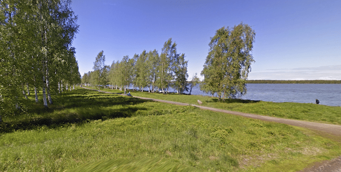
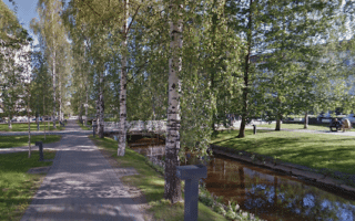
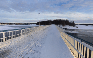
In northern Oulu, this is a nice route combining paths along sections of two lakes — Kuivasjärvi & Pyykösjärvi — and the campus of the University of Oulu, all connected by a good network of cycle paths (järvi=lake). There are some nice wooded views and wooded sections with lovely birch trees.
Kuivasjärvi Lake. Creative Commons
Start at Kuivasjärvi (lake) at the University of Oulu Botanical Gardens. There’s a paved multi-use trail headed north around the lake, though after the first 1 km, the path is more inland and there aren’t lake views. Cross the Kaijonlahden Bridge and instead of completing the loop, continue STRAIGHT on the cycle path for 0.7 km to Pyykösjärvi (lake). There’s a 3 km path along the west & southern parts of the lake, with good water views for 1 km along the southern section. Retrace your steps for 2 km, and then run through the fairly small campus of the University of Oulu to complete the run.
Shorter Option: Eliminate one of the lakes…
In northern Oulu, this is a nice route combining paths along sections of two lakes — Kuivasjärvi & Pyykösjärvi — and the campus of the University of Oulu, all connected by a good network of cycle paths (järvi=lake). There are some nice wooded views and wooded sections with lovely birch trees.
Kuivasjärvi Lake. Creative Commons
Start at Kuivasjärvi (lake) at the University of Oulu Botanical Gardens. There’s a paved multi-use trail headed north around the lake, though after the first 1 km, the path is more inland and there aren’t lake views. Cross the Kaijonlahden Bridge and instead of completing the loop, continue STRAIGHT on the cycle path for 0.7 km to Pyykösjärvi (lake). There’s a 3 km path along the west & southern parts of the lake, with good water views for 1 km along the southern section. Retrace your steps for 2 km, and then run through the fairly small campus of the University of Oulu to complete the run.
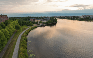
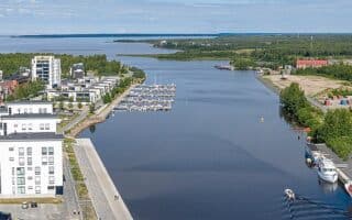
Among our several centrally located waterfront routes in Oulu, this 11 km loop is focused on paths along the Merikoski Raoids and the Ouloujoki River in Oulu and Tuira. It's almost all on pedestrian/cycle paths, mostly along the water, with great views.
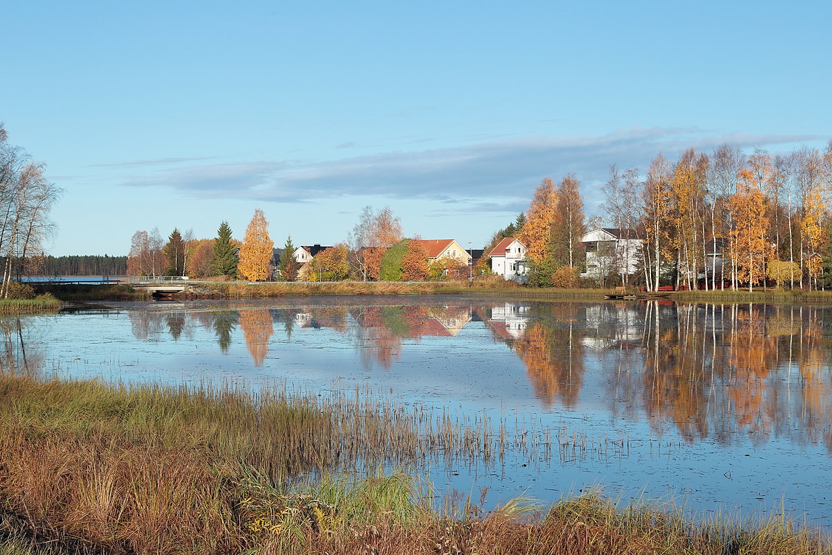
This route follows the Hiirosenoja River, a tributary of the Ouloujoki River extending southeast of Oulu. Since the river is narrow, this feels more like a run through canal-side parks. There are out & back and a couple of different loop options.
A great 10k run on waterfront paths covering four islands, then waterfront paths along the Oulu and Tuira sides of the Merikoski rapids. Many scenic bridge crossings and sections along the water.
A fun and easy to follow 5.6 km loop around Topilla Island, located just west of central Oulu. Nice waterfront paths, parks, and a section along the popular Nallikari Beach. Good add-on options.
Share your feedback on this route and see that of other Great Runs users. Click on the image icon to upload a photo. And please let us know if there are notes or changes we should incorporate!

Review or Comment on This Route/Share a Photo!
Share your feedback on this route and see that of other Great Runs users. Click on the image icon to upload a photo. And please let us know if there are notes or changes we should incorporate!