
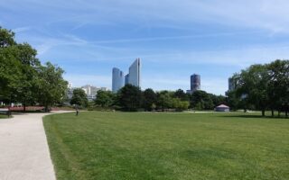
At nearly 60 km from central Paris, Fontainebleau is the furthest commune we cover in our Paris suburbs running guide. However, the massive Fontainebleau Forest and the opulent Château de Fontainebleau, at the Forest’s eastern end, are great running destinations.
Fontainebleau Forest: 8 km (5 mile) loop. Elevation Gain: 42m
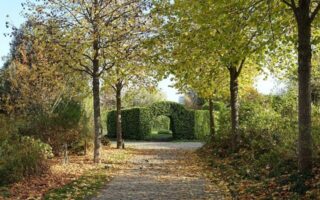
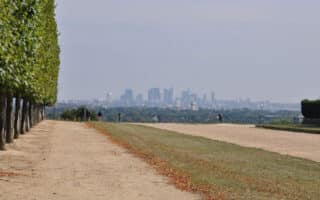
At 280 square kilometers, this vast forest hugging the edges on Fontainebleau has a great selection of trails to explore. There are 300 km of marked paths ranging in difficulty, as well as 1,600 km of shared forest roads – too many for us to pick a favorite route! For those looking for a challenge, there are numerous hilly, boulder-strewn trails. Note: there is not a good, publicly available digital trail map of the forest. We’ve mapped a ~5 mile loop as an example of the trail selection. ROUTE MAP.
Château de Fontainebleau: 6.6 km (4.1 mile) loop. Elevation Gain: 106m
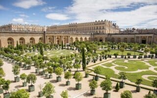
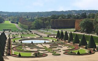
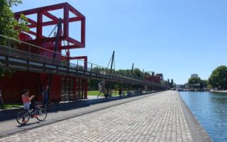
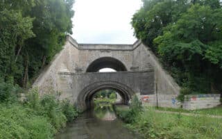
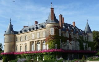
One of the largest royal chateaus in France, this sprawling mansion and its gardens are a fantastic run central to Fontainebleau. While there is a small charge to tour the chateau itself, the grounds are free and open to the public. A loop around this stunning property is 6.5 km, and includes the grounds of the Château, grand allées, gardens, and a grand canal. For an add-on, head out Rue du Viaduc for a nice bike path and views of the enormous arched aqueduct. ROUTE MAP.


Review or Comment on This Route/Share a Photo!
Share your feedback on this route and see that of other Great Runs users. Click on the image icon to upload a photo. And please let us know if there are notes or changes we should incorporate!