Pantin is located northeast of Paris just off the Boul. Périphérique (19th Arr.). It features some nice running in La Villette park, the path along the Canal de l’Ourcq, and trails in the Parc forestier de la Poudrerie. The Bondy Forest, a classic European park with extensive, well-groomed paths, is located to the east in Courbon.
La Vilette Park & Canal de l’Ourcq: Up to 14.5 km (9 miles) one-way. Elevation Gain: 48m
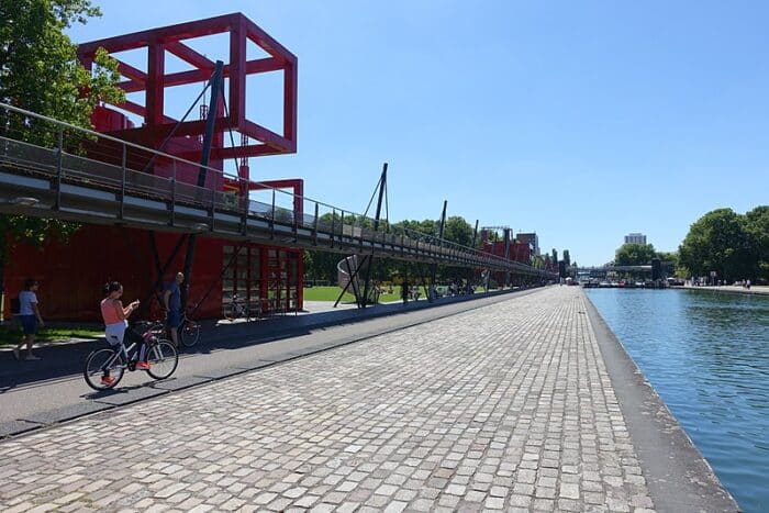
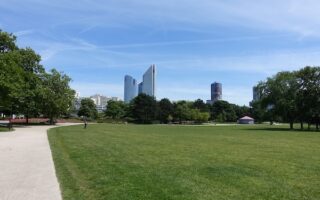
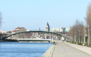
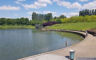
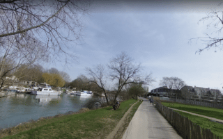
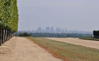
A lovely towpath branching off from La Villette Park, Canal de l’Ourcq heads east out of the city, followed by multi-use paths and quays. Runners can follow the waterfront for 14.5 km (one way) to Parc forestier de la Poudrerie or even beyond to Claye-Souilly. Add on with lovely, landscaped paths in La Villette Park (an arts and culture center) on the east end. And the grid-like paths in Parc forestier de la Poudrerie make for some great fartlek training. ROUTE MAP.
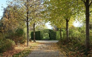
Bondy Forest: Like many of Paris’ forests, Bondy features well groomed dirt roads through a sprawling tree-filled park rather than rough trails. There are numerous “promenades” through the park, so runners can explore endlessly. The favorite running path is the Promenade de la Dhuis, which measures up to 27 km, but there is also a mapped 3.6 km pedestrian loop through the park. PARK MAP & INFORMATION.


Review or Comment on This Route/Share a Photo!
Share your feedback on this route and see that of other Great Runs users. Click on the image icon to upload a photo. And please let us know if there are notes or changes we should incorporate!