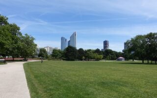
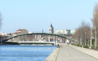
This area 20 km south of Paris is primarily residential, but there are numerous parks and green spaces that are great for running. Runners will enjoy a trot along the Orge, the circuit around the Lac Viry-Châtillon, or the Aqueduc de la Vanne bike path.
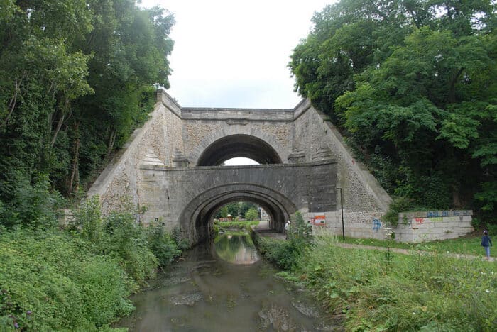
Voie Verte de l’Aqueduc de la Vanne: 3.4 km (2.1 miles) one-way; Flat
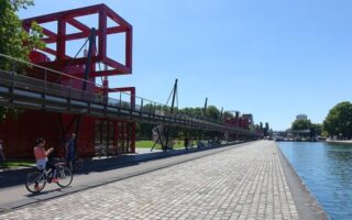
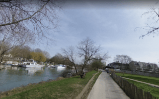
This 3.5 km, flat path from Grigny to Viry-Châtillon stretches through mostly urban areas, but it’s a nice opportunity for a medium length run on a flat, well-kempt gravel surface for those who find themselves in this suburb south of Paris. ROUTE MAP.
Orge Paths and Parks: 5km (3.1 miles) one-way; Elevation Gain: 34m
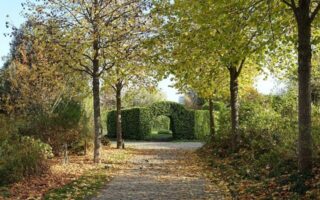
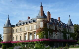
A great addition to the Voie Verte, the paths and parks of form a greenway along the Orge waterway. Runners can start from the end of the Voie Verte and head either east or west onto kilometres of riverside paths. We recommend heading west for 5 km to Espace Naturel du Vaucluse towards, passing through Parc Duparchy, Parc du Château, Promenade de l’Orge, and Prairie de Villemoisson. ROUTE MAP.
Lac Viry-Châtillon: 7 km (4.3 miles) perimeter loop; Elevation Gain: 32m
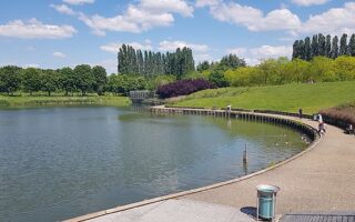
Another closeby option worth noting is the Lac Viry-Châtillon, which is encircled by a gravel pathway. There are good views of the lake for most of the route. There is also stationary exercise equipment along the way for those who want to work in a little strength training. A full circuit is about 7 km. ROUTE MAP.


Review or Comment on This Route/Share a Photo!
Share your feedback on this route and see that of other Great Runs users. Click on the image icon to upload a photo. And please let us know if there are notes or changes we should incorporate!