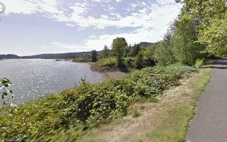
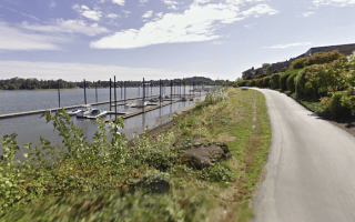
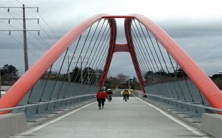
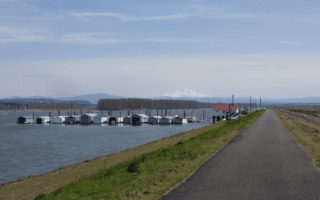
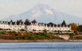
For a wonderful destination run, head 35 miles west of the Portland/Vancouver area to the Banks-Vernonia State Trail. This 23-mile paved multi-use path follows a section of the former Spokane, Portland & Seattle Railway, between Banks and Vernonia. There are some wonderful views of the Coastal Range, 13 bridges, two 700-foot-long railroad trestles, and side trails that access nearby rivers and creeks. Note: steady incline, 2-5% grade, headed north.
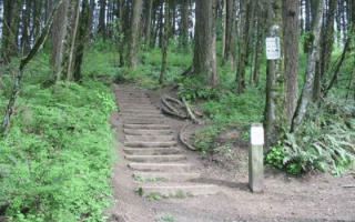
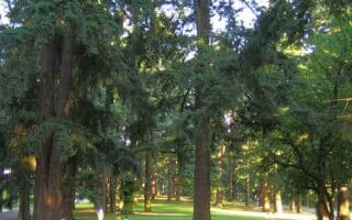
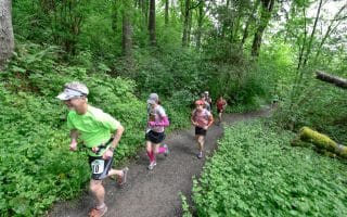
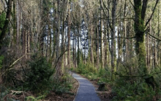
Runners can choose from various sections. Much of the trail parallels Newhalem Hwy. The first 5 miles from Banks are more pastoral farmland. Miles 9-10 are through L. L. Stub Stewart State Park. The northern sections are more wooded. At the Vernonia end, there’s a 1-mile loop around Vernonia Lake.
For a wonderful destination run, head 35 miles west of the Portland/Vancouver area to the Banks-Vernonia State Trail. This 23-mile paved multi-use path follows a section of the former Spokane, Portland & Seattle Railway, between Banks and Vernonia. There are some wonderful views of the Coastal Range, 13 bridges, two 700-foot-long railroad trestles, and side trails that access nearby rivers and creeks. Note: steady incline, 2-5% grade, headed north.
Runners can choose from various sections. Much of the trail parallels Newhalem Hwy. The first 5 miles from Banks are more pastoral farmland. Miles 9-10 are through L. L. Stub Stewart State Park. The northern sections are more wooded. At the Vernonia end, there’s a 1-mile loop around Vernonia Lake.


Review or Comment on This Route/Share a Photo!
Share your feedback on this route and see that of other Great Runs users. Click on the image icon to upload a photo. And please let us know if there are notes or changes we should incorporate!