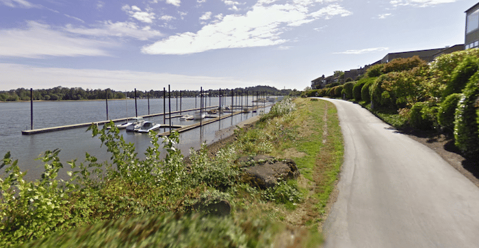
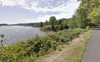
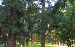
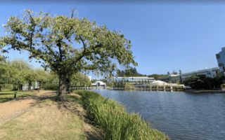
This route explores the south waterfront section of the Willamette River, with multi-use paths on both banks. This more park-like route can be run standalone, or combined with our central Portland Willamette River route, which runs between the N Street Bridge & Tilikum Crossing Bridge. Nice parks & water views!
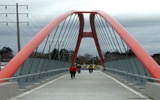
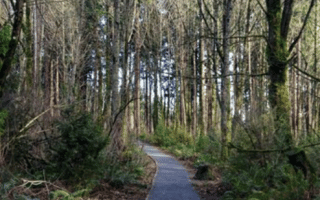
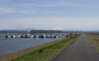
From the Tilikum Crossing Bridge, head south. The first mile is a bit industrial, passing by the South Waterfront Terminal, The paved path begins again in earnest off S. Lowell St., passing through Willamette Park. At the ~3 mile mark, cross the Sellwood Bridge to the east bank. Head back north, passing through the Oaks Bottom Wildlife Refuge [additional trail options], then paralleling S. McLoughlin Blvd. to return to the start.
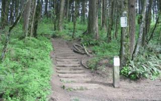
Add-Ons; Our central Portland Willamette River Loop. Also, additional trails in Oaks Bottom Wildlife Refuge.
This route explores the south waterfront section of the Willamette River, with multi-use paths on both banks. This more park-like route can be run standalone, or combined with our central Portland Willamette River route, which runs between the N Street Bridge & Tilikum Crossing Bridge. Nice parks & water views!
From the Tilikum Crossing Bridge, head south. The first mile is a bit industrial, passing by the South Waterfront Terminal, The paved path begins again in earnest off S. Lowell St., passing through Willamette Park. At the ~3 mile mark, cross the Sellwood Bridge to the east bank. Head back north, passing through the Oaks Bottom Wildlife Refuge [additional trail options], then paralleling S. McLoughlin Blvd. to return to the start.
Add-Ons; Our central Portland Willamette River Loop. Also, additional trails in Oaks Bottom Wildlife Refuge.


Review or Comment on This Route/Share a Photo!
Share your feedback on this route and see that of other Great Runs users. Click on the image icon to upload a photo. And please let us know if there are notes or changes we should incorporate!