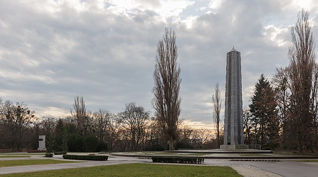
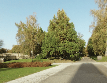
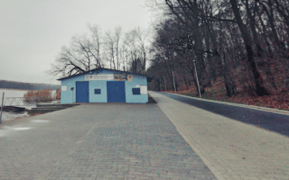
Citadel Park refers to the hill located just north of the city center. It was the location of the Winiary Fort until 1945. It’s now a popular city park and a great spot for a run. There are numerous hilly, crisscrossing paths. The center of the park is a more open landscape, with some wooded terrain toward the park’s south, east, and western edges. There are several important outdoor sculptures, two museums, and a rose garden.
Google Street View
For running, this is a place to create your own route. A loop of the perimeter is ~3.5 km. We also recommend two longer allée type paths: from the Fort Winiary north to the Głaz Jarosława Maszewskiego sculpture; and from Cytadela Centrum east to the Amphitheater. Make sure you pass by the Nierozpoznani sculpture at the park’s center!
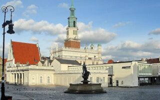
A terrific 'runseeing' tour of Poznań, including Old Town (Stare Miasto) and then a clockwise loop through several parks that line the road around the former walls of this medieval city. The route is ~9 km, with good add-on options.
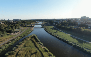
Pleasant multi-use paths along both sides of the Warta River, accessible from the center of town. Up to 4 km between the Bolesława Chrobrego Bridge and the Przemysł I Bridge. Some nice views of the water and the the city.
Just outside the center of Poznań, this run on paths in Sołacki Park and around Rusałka Lake is scenic and has lots of variety. Can add the University Botanical Garden. Also a running track at the sports complex near Rusałka Lake.
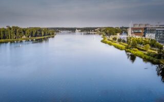
The 5.4 km loop around Malta Lake, located ~2 km east of Old Town, is one of the most popular running routes in Poznań. There's a paved multi-use path around the lake, with great water views. Millennium Park & Warta River paths are good add-ons.
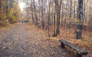
Lovely forest park 5 km west of Poznań centre that's great for running. 16 km of wide, flat, wooded paths with good footing, and a nice variety of trees. Site of weekly parkrun. Good option near the airport.
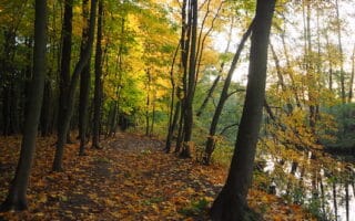
For some great scenery and variety, combine a tour of John Paul II Park and trails around Dębińskii Forest, with its ponds & specimen trees. These areas can also be run separately. Dębińskii Forest is the site of a weekly parkrun. Add'l paths along the Warta River.
Nice running along Lake Swarzędzkie in the Swarzędz, 10 km east of Poznań. Paths along the east and west sides each run for ~2 km. The east side path is more developed and has a running track at its south end. Site of a weekly parkrun.
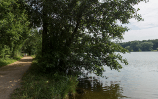
Enjoy a run along Poznań's largest lake! A paved multi-use path, Nad Jeziorem, runs alongside the lake for nearly 4 km. The path is mainly wooded, with some lake views. Option to add with path to Strzeszynek Lake & Rusałka Lake.
Share your feedback on this route and see that of other Great Runs users. Click on the image icon to upload a photo. And please let us know if there are notes or changes we should incorporate!
Subscribe
0 Comments
Oldest
Newest
Inline Feedbacks
View all comments
Essentials
Several km of paths. A loop of the perimeter is ~3.5 km
Hilly!
Depends on where you enter the park
From the center, three main roads lead into the south end of the park. Train Station: Poznań Garbary; Tram along Winogrady Rd.

Review or Comment on This Route/Share a Photo!
Share your feedback on this route and see that of other Great Runs users. Click on the image icon to upload a photo. And please let us know if there are notes or changes we should incorporate!