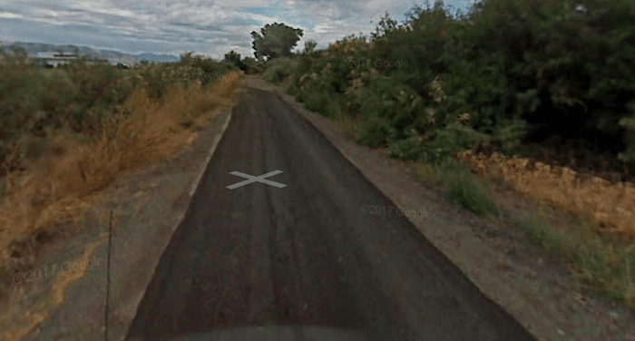
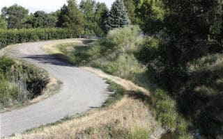
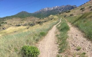
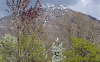
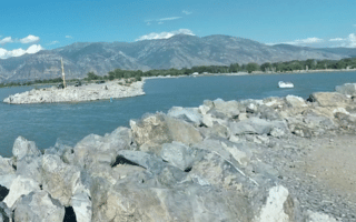
The Provo airport is located next to Utah Lake State Park. A popular running route is the 7 mile loop around the airport road, S Airport Dike Rd. & Aviation Rd. The road is part paved and part gravel. And it’s an easy-to-follow, flat run. There are occasional glimpses of the lake, and views of the surrounding mountains and of airplanes taking off and landing. UPDATE: According to a Great Runs user, this road is currently closed due to a construction project. But see the comments below about an update to this as of November 2025.
Add-Ons: This loop is adjacent to our routes at Utah Lake State Park, and is also the southern end of the Provo River Parkway Trail.


Review or Comment on This Route/Share a Photo!
Share your feedback on this route and see that of other Great Runs users. Click on the image icon to upload a photo. And please let us know if there are notes or changes we should incorporate!