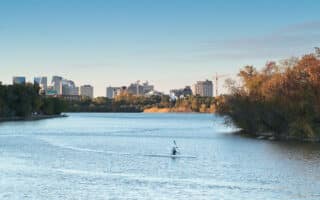
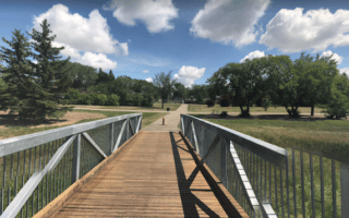
For some off-road running variety, we recommend the paved, 6.5 km multi-use path that connects several parks in the eastern part of Regina. The southern end is at the McKell Wascana Conservation Park, where unpaved trails meander around the narrow river and wetlands. Head north, and then west, for 2 km to Wascana Creek Park, continuing to Selinger Park (3 km) and Harding Park (5 km), ending at Riverbend Park.
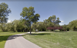
Add-Ons: Numerous smaller trails come off the main trail, into Wascan View Park, University Park, and Ready Park.
For some off-road running variety, we recommend the paved, 6.5 km multi-use path that connects several parks in the eastern part of Regina. The southern end is at the McKell Wascana Conservation Park, where unpaved trails meander around the narrow river and wetlands. Head north, and then west, for 2 km to Wascana Creek Park, continuing to Selinger Park (3 km) and Harding Park (5 km), ending at Riverbend Park.
Add-Ons: Numerous smaller trails come off the main trail, into Wascan View Park, University Park, and Ready Park.


Review or Comment on This Route/Share a Photo!
Share your feedback on this route and see that of other Great Runs users. Click on the image icon to upload a photo. And please let us know if there are notes or changes we should incorporate!