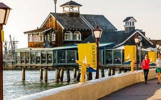
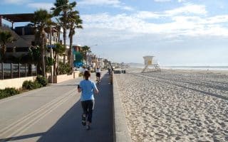
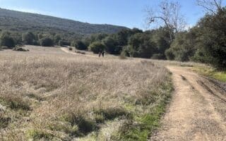
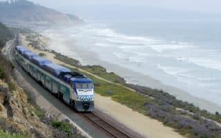
The San Diego River Trail is a good option for runners who want a long, flat, off-road trail in the Mission Bay/Mission Valley area. The river itself seems more like a wide creek bread than a full-on river, but it does sport a continually improving path that is most reliable on its southern bank, though there are some sections where there’s trail on the north bank as well.
We’ve mapped 7.5 mile section that runs from Ocean Beach to I-805 in Mission Valley East. The trail is flat and mostly paved. There are a couple of short on-road sections, but the trail is seamless for the most part. The prettiest part is the 3 miles between Ocean Beach and I-5, and then between the Westfield Mall (Highway 163) and Qualcomm Way. In the Ocean Beach area, it’s a nice add-on to our route around Mission Bay.
Notes: There continues to be work expanding the trail. Also, it is exposed, so use caution on hot days.


Review or Comment on This Route/Share a Photo!
Share your feedback on this route and see that of other Great Runs users. Click on the image icon to upload a photo. And please let us know if there are notes or changes we should incorporate!