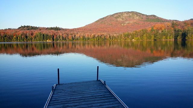
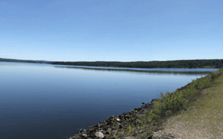
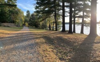
Mont-Orford National Park is one of the prime visitor destinations in the Eastern Townships. Located a 1/2 drive from Sherbrooke, this large park features all manner of recreational activity: running, biking, swimming, boating on its numerous lakes, as well as nordic skiing in winter. There are 80 km of trails with something for everyone. This table of trails is an excellent resource for trail runners, with loops of various lengths, level of difficulty, and types of scenery. A few recommendations:
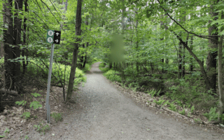
Des Trois-Étangs Loop. 5.5 km, easy. Can add with bike path.
Étang-Fer-de-Lance trail. 3.5 km loop. An easy, scenic trail through a maple grove to a lookout providing a magnificent view of the peat bog at the foot of the Mont-Orford massif. Flat.
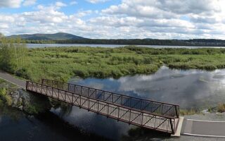
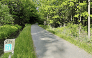
La Cavalière trail. Easy multi-use bike path goes for 10.6 km between Le Cerisier Discovery and Visitors Centre and Opeongo Visitors Centre.
Route Verte. 10.4 km of Quebec’s long-distance cycle path crosses the park from east to west. Hilly!
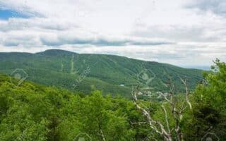
Hill Running: Various ways to experience the park’s hills. Mont-Orford is the largest, involving a 400m+ climb, with intermediate & more difficulty options. For an easier mountain trail run, try Le Mont-Chauve.
Mont-Orford National Park is one of the prime visitor destinations in the Eastern Townships. Located a 1/2 drive from Sherbrooke, this large park features all manner of recreational activity: running, biking, swimming, boating on its numerous lakes, as well as nordic skiing in winter. There are 80 km of trails with something for everyone. This table of trails is an excellent resource for trail runners, with loops of various lengths, level of difficulty, and types of scenery. A few recommendations:
Des Trois-Étangs Loop. 5.5 km, easy. Can add with bike path.
Étang-Fer-de-Lance trail. 3.5 km loop. An easy, scenic trail through a maple grove to a lookout providing a magnificent view of the peat bog at the foot of the Mont-Orford massif. Flat.
La Cavalière trail. Easy multi-use bike path goes for 10.6 km between Le Cerisier Discovery and Visitors Centre and Opeongo Visitors Centre.
Route Verte. 10.4 km of Quebec’s long-distance cycle path crosses the park from east to west. Hilly!
Hill Running: Various ways to experience the park’s hills. Mont-Orford is the largest, involving a 400m+ climb, with intermediate & more difficulty options. For an easier mountain trail run, try Le Mont-Chauve.
Review or Comment on This Route/Share a Photo!
Share your feedback on this route and see that of other Great Runs users. Click on the image icon to upload a photo. And please let us know if there are notes or changes we should incorporate!