Features:
Categories:
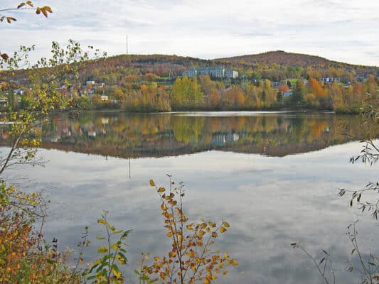
In the southern part of Sherbrooke, there’s some nice running around the University of Sherbrooke campus and trail the wooded trails of Mont-Bellevue. The Université de Sherbrooke has a decent network of pedestrian paths. It’s ~1 km east-west and ~1 km north south, in the area east of Highway 216. There’s a great running track at the southern end of campus.

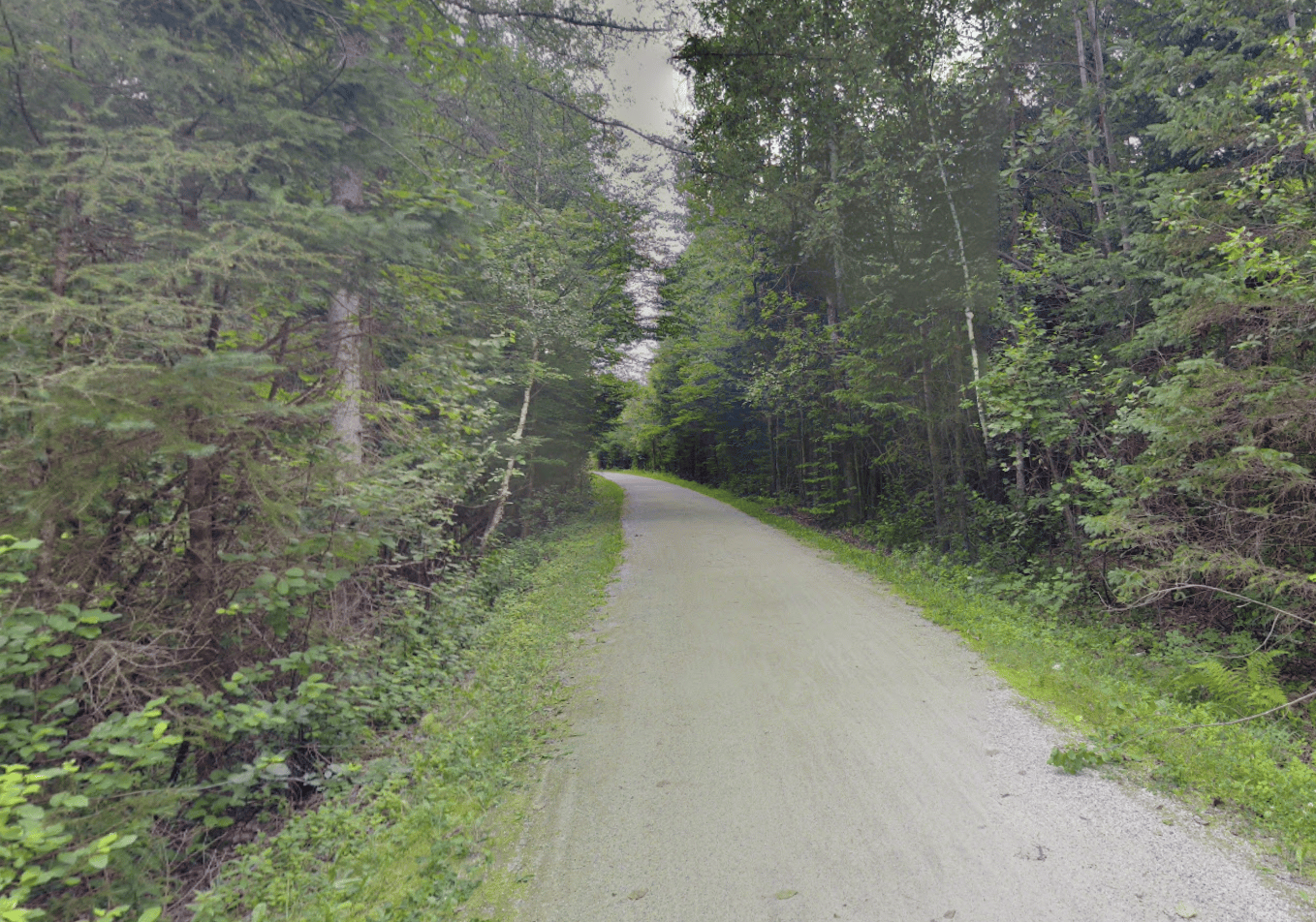
Mont-Bellevue/Parc Bellevue, located just east of the university, is also a popular spot for walking, hiking, running — and downhill/XC skiing in winter (there are two lifts). A loop of the paths is ~5 km, with 80m elevation gain — there are a couple of steep sections, but for the most part the path is gradual. It’s a wide path, almost like a dirt road. It’s fun to run to the cross (Croix) at the top. Access to the trail is off Rue Gelt, at the lifts, or the Dunant parking lot. Note: trails are for skiiing in winter.
Add-On: The Magog River paths are 0.5 km north of Mont-Bellevue.
- Mont-Bellevue loop is ~5 km
- 80m (263 feet)
- For university: central campus. Mont-Bellevue start is off Rue Glet
- Access to the Mont Belleveue is off Rue Gelt, at the lifts, or the Dunant parking lot.


Comment on this Route/Share a Photo!
Share your feedback on this route and see that of other Great Runs users. Click on the image icon to upload a photo. And please let us know if there are notes or changes we should incorporate!