Flickr: Don Dearing
Features:
Categories:

Nocatee is a master planned community that sits inland, between St. Augustine and Jacksonville. This is a very pleasant area for running. The best option is to run on the wide paths of the 5,000 acres of village-like neighborhoods. This fitness trails map has suggestions for numerous loops, with notes on sights along the way. One can put together 10+ miles of off-road, non-overlapping running.
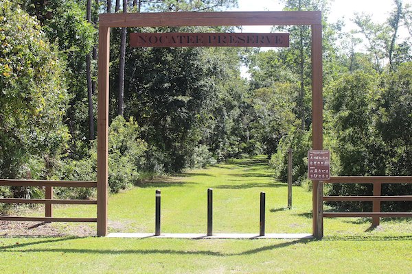
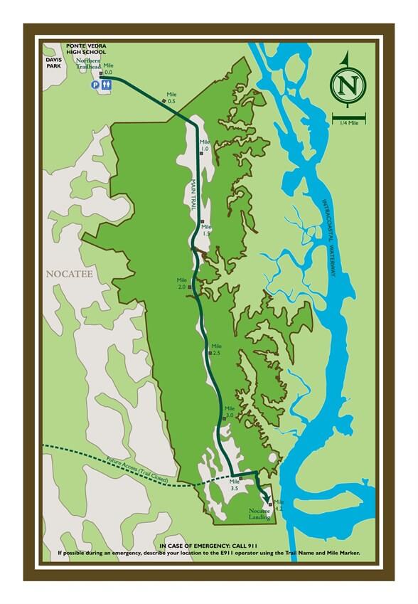
For something more rugged, head over to the Nocatee Preserve, which There’s a nature/greenway trail that stretches for 3.5 miles one-way, starting off Davis Park Rd. near the Ponte Vedra High School and heading south. It’s a dirt trail than can be grassy in spots and sandy in spots. Bring bug spray!
Essentials
- Numerous loop options on Fitness Trails; Greenway Trail in Nature Preserve is 3.5 miles one-way
- For Fitness Trails, see map; Nature Preserve Trailhead is off Davis Park Rd. near the Ponte Vedra High School
- Nature Preserve Trailhead is off Davis Park Rd. near the Ponte Vedra High School


Comment on this Route/Share a Photo!
Share your feedback on this route and see that of other Great Runs users. Click on the image icon to upload a photo. And please let us know if there are notes or changes we should incorporate!