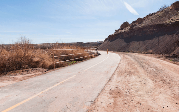
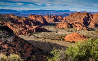
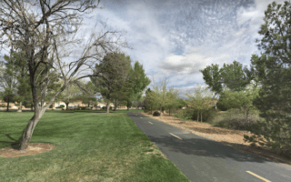
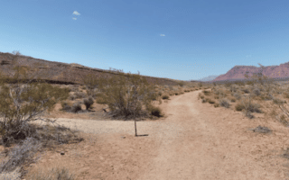
The Virgin River Trail is the signature off-road trail in St. George. The paved multi-use path follows the Virgin River on the north side for 5 miles between Confluence Park and Fossil Falls Park, then continues for another 4 miles on a gravel surface north to Washington, just past Grapevine Pass Wash. The trail features mostly open terrain, with views of the surrounding mountains & rocks. Note that it’s modestly uphill headed in the northerly direction. There are several offshoots and spur trails:
- At Riverside, the Virgin River Trail South spur, for 2.5 miles to Bloomington Hills North Park. MAP
- A ~ 1 mile spur paralleling Mall Dr.
Key Distances from Confluence Park, headed north (there are distance markers):
2 miles: River Rd. (closest point to downtown)
4 miles: S Mall Dr.
4.5 miles: Fossil Falls Park
6.5 miles: Sullivan Park
7.8 miles: Grapevine Pass Wash
9 miles: Northern end of Trail

Review or Comment on This Route/Share a Photo!
Share your feedback on this route and see that of other Great Runs users. Click on the image icon to upload a photo. And please let us know if there are notes or changes we should incorporate!