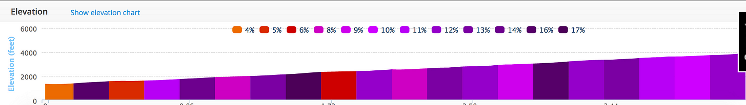
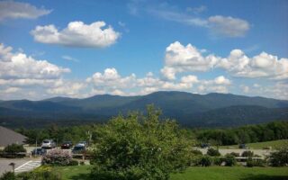
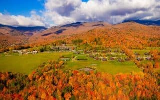
If you would like a true challenge and want to literally run up (or down) Mount Mansfield, this is a unique opportunity. A toll road runs up Mt. Mansfield, climbing 2,540 vertical feet over 4.3 miles. A series of switchbacks makes the road ‘run-able’, but this is still very challenging — averaging a 10% grade but as much as 16–17%. The reward is great views and a sense of accomplishment. But this is only for runners who have a lot of hill running experience, as can be seen in the elevation profile below.
Note that walking/running/biking up the toll road is not permitted when it’s open to cars. So you’ll have to go early or late, and consult the Mt. Mansfield web site for the road’s operating hours. Now, the additional challenge is how to get down if you get up. It’s the same 4.3 miles down along the road, or of course you can walk down one of the ski trails. I would say that an option would be to ride the gondola down, and then run along the 1.75 miles along Rt. 108 south from the gondola base to the toll house base, but it’s only open during hours you wouldn’t be permitted to run up the road, so…


Review or Comment on This Route/Share a Photo!
Share your feedback on this route and see that of other Great Runs users. Click on the image icon to upload a photo. And please let us know if there are notes or changes we should incorporate!