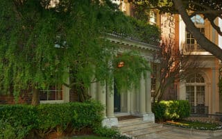
Our favorite residential neighborhood for running in San Francisco is Pacific Heights. Lovely streets and attractive homes just east of the Presidio. We also love running in the Nob Hill, Sea Cliff and Noe Valley neighborhoods.
california Runs
Some great options in South San Francisco, just north of SFO: waterfront paths at Candlestick Point and a Bay Trail section at Sierra Point; some nice hills & trails at McLaren Park; and some serious but rewarding climbing at San Bruno Mountain.
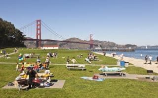
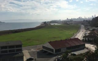
The run along Chrissy Field from Fort Mason to Fort Point is one of the great urban runs of the world. Water views the whole way. Heading north, views of the Golden Gate Bridge and the Marin Headlands, and south, the SF skyline.
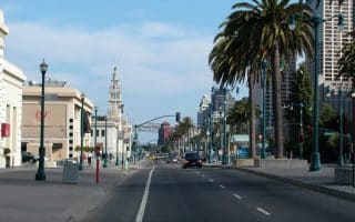
There are numerous options to run along the Embarcadero, mainly depending on where you start and how long you want to run for.
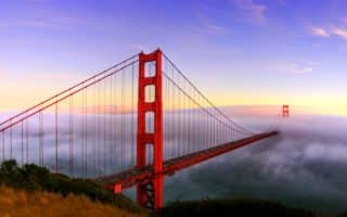
Running across the Bridge is not only encouraged…it’s a tourist attraction. There is a dedicated path for runners/walkers. It's 1.7 miles across the bridge. Spectacular views. Lots of add-on potential. VIDEO HIGHLIGHTS!
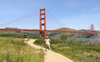
The iconic, memorable San Francisco run includes the Embarcadero, Fisherman's Wharf, Crissy Field to Fort Point, and then over the Golden Gate Bridge. Fantastic views! Choose a section or do the entire 9.6 miles!
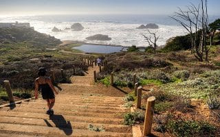
The run between the Golden Gate Bridge and Land’s End is unique: spectacular ocean views, hills, wooded sections, and some beautiful homes. We've mapped several options. VIDEO HIGHLIGHTS!
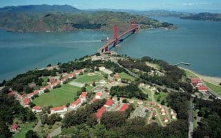
A former military installation, now a gorgeous park with miles of trails for walking and running. There are hills, wooded trails, and scenic vistas out to the Golden Gate Bridge and the Pacific Ocean. Also some great loop options involving Crissy Field.
Another great loop option involving the Presidio, the Golden Gate Bridge, and the Golden Gate Promenade. Take the Presidio Promenade Path through the Presidio, then return along Crissy Field. Great views and variety.