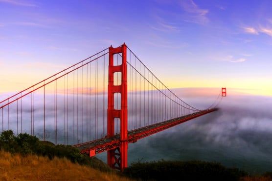
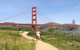
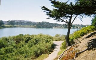
10,000 pedestrians cross the Golden Gate Bridge every day. Running across the Bridge is not only encouraged…it’s a tourist attraction. You will be contending with walkers, cyclists, strollers, bladers, and every other “er” or “ist”. But it’ll be hard to not stop and enjoy the views.
There are wonderful view points at each end of the bridge. It is 1.7 miles across the bridge. So our route is ~4 miles RT, incorporating a jaunt out to the view points, from the Golden Gate Bridge Welcome Center to Vista Point on the other side of the bridge.
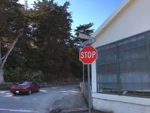
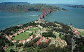
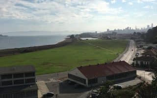
If you want to access the Golden Gate Bridge from the Crissy Field/Fort Point area, take the trail to the bridge, which starts right near the warming hut. It’s 0.4 miles from the Warming Hut to the Golden Gate Visitor Center. A road path (and sign) leads from the intersection of Crissy Field Ave. & Mason St.
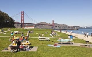
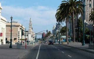
Combine this run with the Crissy Field and/or Embarcadero runs for more mileage.
https://www.youtube.com/watch?v=uYIBBSZtaXc&feature=youtu.be
10,000 pedestrians cross the Golden Gate Bridge every day. Running across the Bridge is not only encouraged…it’s a tourist attraction. You will be contending with walkers, cyclists, strollers, bladers, and every other “er” or “ist”. But it’ll be hard to not stop and enjoy the views.
There are wonderful view points at each end of the bridge. It is 1.7 miles across the bridge. So our route is ~4 miles RT, incorporating a jaunt out to the view points, from the Golden Gate Bridge Welcome Center to Vista Point on the other side of the bridge.
If you want to access the Golden Gate Bridge from the Crissy Field/Fort Point area, take the trail to the bridge, which starts right near the warming hut. It’s 0.4 miles from the Warming Hut to the Golden Gate Visitor Center. A road path (and sign) leads from the intersection of Crissy Field Ave. & Mason St.
Combine this run with the Crissy Field and/or Embarcadero runs for more mileage.
https://www.youtube.com/watch?v=uYIBBSZtaXc&feature=youtu.be


Review or Comment on This Route/Share a Photo!
Share your feedback on this route and see that of other Great Runs users. Click on the image icon to upload a photo. And please let us know if there are notes or changes we should incorporate!